Connecting Minds. Advancing Light.
By Xu Teo
This is the motto of the SPIE, and at this conference it achieved both brilliantly.
Change is indeed the only constant and this highly international event explored the challenges which accompany this change. In the current environmental and technological climate, the real challenge lies not in the production of data, but in its fusion and subsequent innovative interpretation designed to turn it into meaningful and useful information for societal benefit. It was, therefore, a wonderful experience to be immersed in this hive of intellectual activity, where the exchange of knowledge was omnipresent.
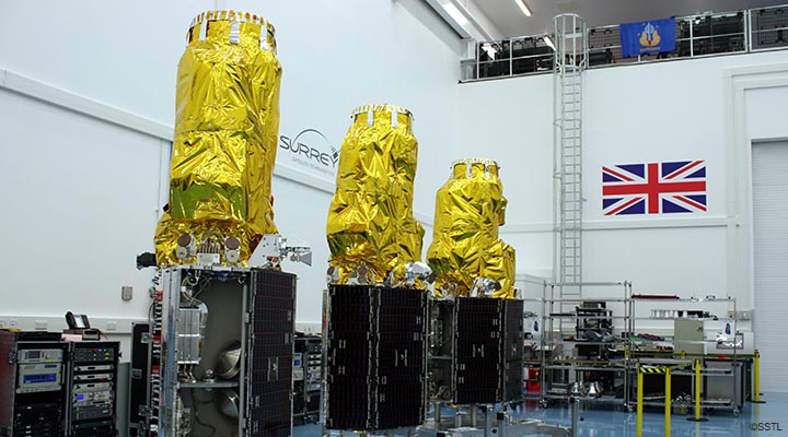
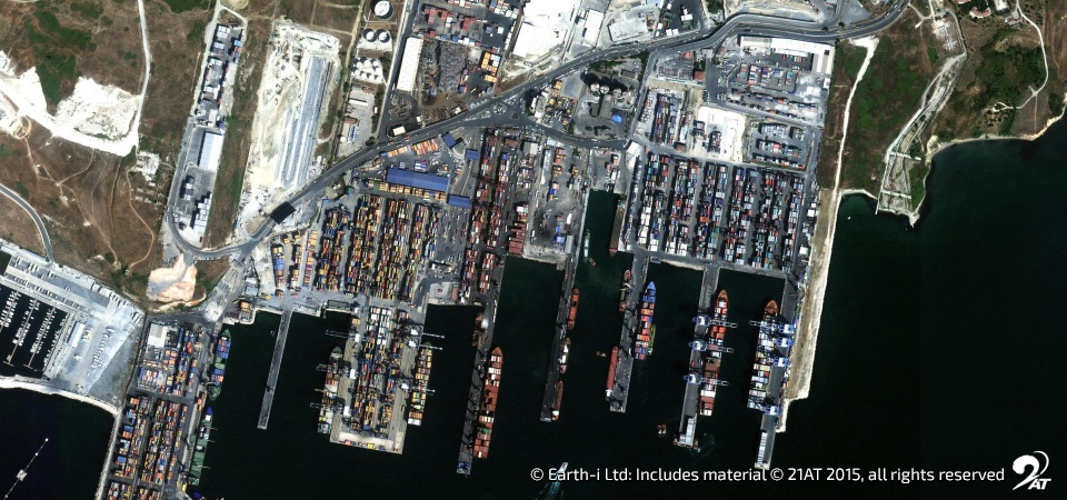
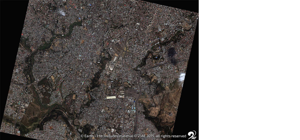
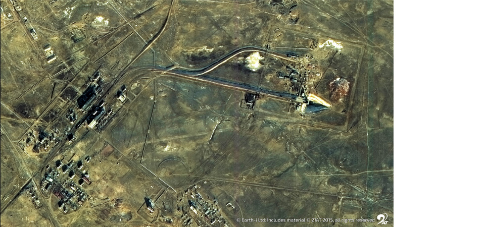
Earth-i is the Master Distributor of very high resolution (VHR) imagery from the DMC3/TripleSat constellation of 3 identical optical satellites, launched in July 2015. Although just over a year old, its capabilities have opened avenues of applications for our customers in areas such as precision agriculture, change detection and time-series analyses, to name but a few. Many of these applications were previously not possible as frequency of imaging was not available from others. A large number of researchers currently utilise freely available data from sensors such as Landsat and Sentinel. Although these are lower in spatial resolution, they are higher is spectral resolution, offering additional information, complementary to VHR imagery, meaning both have central roles in Earth Observation.
Often, speakers were lamenting at the end of their presentations that in order to validate and further their work, higher resolution data was needed. However, they often find that VHR imagery is either beyond their budget, or the target area is covered by clouds – a particular issue that the DMC3/TripleSat constellation was designed to address, partly through intelligent tasking but also through brute force. The DMC3 “triplets” provide daily revisits over any spot on the planet at least once per day, with higher revisits at greater latitudes (North or South). This capability, along with their ability to be agile, gives them almost unrivalled imaging performance. Together with other topics of research being discussed, it was clear then that VHR imagery has an increasingly important part to play in the support of the scientific validation of operational applications.
We heard that a number of researchers plan to bring new aspects of image and signal processing, previously the preserve of high technology, to be applied in consumer technologies. For example, we expect in the near future to see super-resolution imaging methods to be available on iPhones!
Whilst at the conference, I was also invited to give a careers talk at my alma mater, the University of Edinburgh. It was scheduled parallel to the conference to share my experience as a recent graduate at Earth-i with future “Earth observers”, as we are working in an industry that is currently exploding with innovation and ideas. It is great to be able to give back, in an world that is moving forever forwards.
Xu Teo is Operations Representative for Earth-I, managing the tasking and data processing of very high resolution imagery from the DMC3/TripleSat constellation.