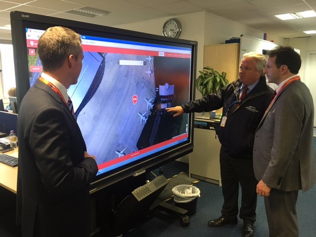
Earth-i and information services has joined forces with what3words to provide the organisers of the Farnborough International Airshow with an up-to-date map of the entire area, for use during the show. With a simple three-word address of every 3m x 3m square of the airfield and exhibition site, this can then be used to manage logistics, visitor direction and emergency response efforts. The joint application with what3words comes as Earth-i attends the show for the first time.
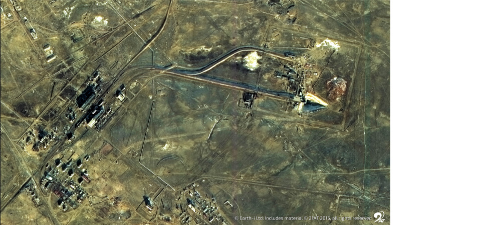
London-based, what3words has created a global location reference system that gives every 3m x 3m square on the planet a fixed and unique 3 word address. Selecting from various imagery sources, Earth-i acquired a large amount of data from a manned aerial platform taking images from multiple angles of the Farnborough International site, to build a highly accurate 3D model. The data was then processed at Earth-i to produce a single, 9cm resolution plan-form image using the 3D model to correct the different image view angles. These images were then divided up into tiles ideal for internet delivery and on receipt of the finished image what3words overlaid their 3m x 3m grid system to integrate it with the optical data from Earth-i.
This means the Farnborough operations team can react efficiently to situations that arise, knowing exactly where everything and everyone is. So a team member in the field can simply say “I need backup at friday.visit.look” and others can navigate there easily, while the team in HQ can see exactly where this location is, using the image of the site overlaid with what3words. The map of Earth-i imagery plus what3words allows for visualisation of the site assets and infrastructure, along with 3-word address search and discovery.
Richard Blain, CEO of Earth-i, commented: “We are delighted to be working closely with what3words to deliver geospatial and information solutions that tackle practical problems faced by governments, businesses, organisations and agencies. As one of the pre-eminent Air and Space events in the world, it is particularly exciting that we were able to deliver such a useful tool to the organisers of Farnborough International, as we attend the show for the first time ourselves.”