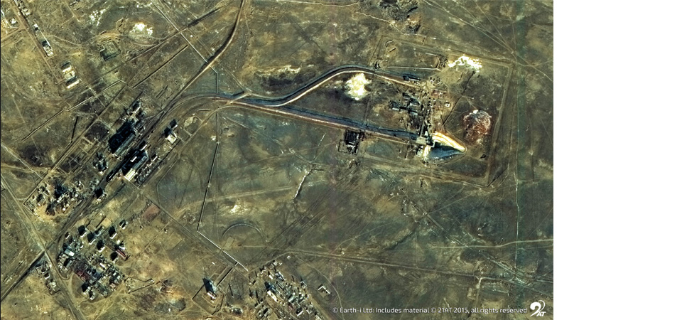
The devastation visited upon Houston and the surrounding areas by Hurricane Harvey reminds us of the power and subsequent impact on lives, communities and property from such major storms. With Hurricane Irma threatening to be even more powerful and devastating, the occurrence of a second such storm, in such a short time span, refocuses attention on what can be done to mitigate the effects. Data from space is playing an increasingly important role in providing high resolution satellite images of affected areas both before and after the storm. Comparison of the two datasets enables rapid analysis of the impact of the storm in specific locations of concern. These datasets are particularly key for government and commercial services responsible for damage analysis, clearance and restoration, and for loss adjusters aiming to settle claims quickly so rebuilding lives can begin.
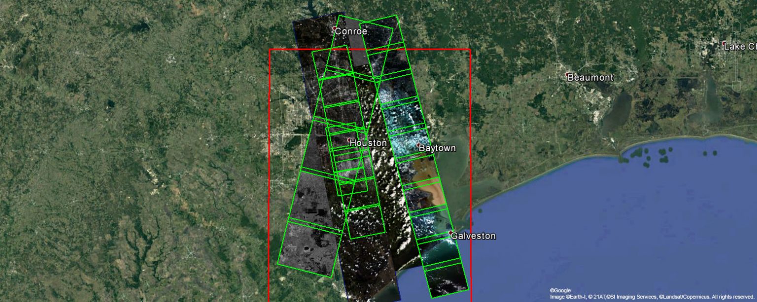
Earth-i utilises very high resolution satellite data from the DMC3 and KOMPSat constellations to provide the detailed imagery and analysis these vital services need. Cloud is a constant challenge in stormy conditions, making the acquisition of very high resolution optical data even more valuable when it can be achieved. Download our kmz file for an overview of the imagery we have available from both DMC3 and KOMPSat. This file can be viewed using Google Earth.
For further enquiries on how we can help support your work post Hurricane Harvey, or in anticipation of work required post Hurricane Irma fill in our short enquiry form below, or email: enquiries@earthi.space.co.uk.