New Space pioneer Earth-i today announced that it has completed the third annual update of the satellite map of the state of Queensland.
 The map covers the whole of Queensland’s 1.9 million km2 and was created by Earth-i for the Department of Natural Resources, Mines and Energy (DNRME). The first map was produced in 2016 with Earth-i reappointed for updates in both 2017 and 2018.
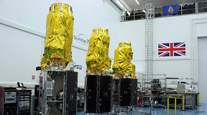
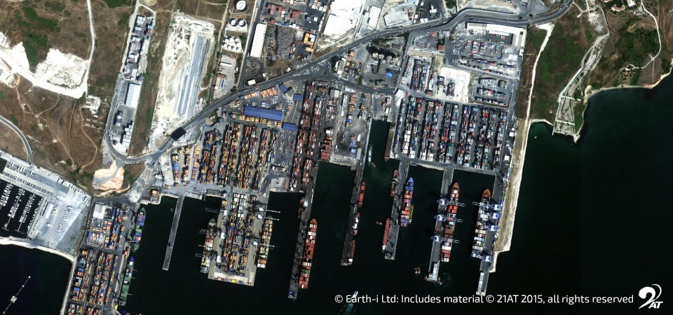
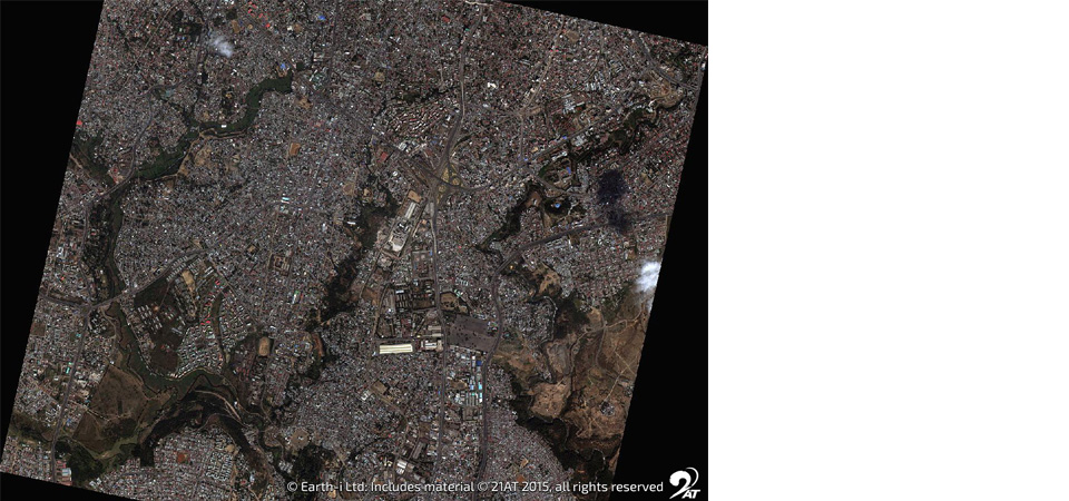
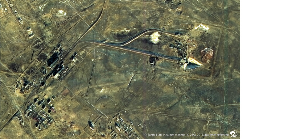
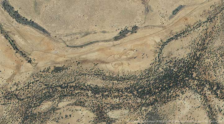
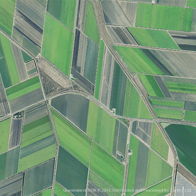
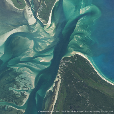
Around 6,000 very high-resolution images from the DMC3 Constellation were used for the 2018 update of the map with multiple re-visits to tropical areas with heavy cloud cover.
The images have a pixel size of 80cm (one pixel equates to 80cm on the ground) so that details such as individual trees can be easily seen.
All three maps are available on an online portal – ‘The Queensland Globe’– where images can be viewed and printed.
They are used by a variety of Government departments, local agencies and natural resource management groups to manage and monitor Queensland’s resources and improve policy development, investment and planning decisions. The map also helps to monitor environmental changes, and helps with the planning of long-term land development strategies.
Earth-i faced strong competition to lead this prestigious project which has set the standard for Governments across the world who are looking to use images of Earth taken from space to improve their decision-making.
Steve Jacoby, Executive Director of Land and Spatial Information at the Queensland Department of Natural Resources, Mines and Energy, said “Earth-i is an innovative company that combines quality images and analysis with excellent service. The Queensland Globe is very well used and helping to improve the decision making of a wide variety of organisations.”
Paul Majmader, Commercial Director of Earth-i, said “Winning this contract for the third consecutive time is a tribute to our entire team. The DNRME in Queensland is showing Governments around the world how important regularly updated, high resolution data is in making informed policy decisions.”
As qualified suppliers to other states in Australia, Earth-i is helping Australia retain its position as a leader in the development of geospatial data infrastructure which is driving both economic development and good environmental management.
-END-
With effective use of space-based EO data and a ‘fit-for-purpose approach’, there is the potential for a future where all nations have access to a geospatial data framework which facilities good governance, economic growth. Visit our e-Guide on ‘why geospatial data is integral to the wellbeing of nations’ or contact us.
To discuss this release with a member of the Earth-i team, please email: enquiries@earthi.space.co.uk