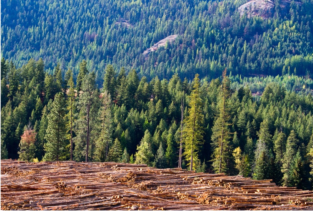
Mapping and monitoring the coverage of a Canadian forest
The Ministry of Environment within the Government of Saskatchewan was looking to map their forest and harvest infrastructure using satellite imagery to support on-the-ground decision making around maintaining a sustainable environment for all.
Our solution
We provided ongoing very high resolution (VHR) image data to the Province of Saskatchewan in Canada.
Using data from the DMC3/TripleSat Constellation of very high-resolution satellites, we assisted the Saskatchewan Ministry of Environment by supplying imagery products for their forestry harvest mapping projects.
This work followed our success in delivering wide area mapping services to the government of Queensland in Australia. Our DMC3/TripleSat data is ideal for both large scale coverage and very high-resolution detail.
The result
Earth-i delivered a combination of tasked and archive 0.8m optical data, from the DMC3 constellation of satellites, to the Government of Saskatchewan to support their forestry and harvest mapping requirements. The data was delivered in a series of 10kmx10km map tiles at the request of the customer. Each map tile was pansharpened, colour-balanced and orthomosaiced to well within the customer specified geolocation requirements. The orthorectification was completed using LiDAR data as a reference.
This project was completed in March 2018 and provided additional insight for environmental planners within government departments.