Customers working on the A14 and the A27 road development projects in the UK benefited from our expertise in satellite imagery data analysis and our Earth Observation portal, SPECTRUM, to understand the historical and ongoing risks to their works and the infrastructure in build and through life. These customers include the world’s biggest consulting engineers and construction companies.
Infrastructure monitoring using satellite imagery helps across lifecycle phases
Earth observation Infrastructure Monitoring helps with a variety of infrastructure lifecycle phases, such as:
- Pre-construction survey, historical searches, and route optimisation
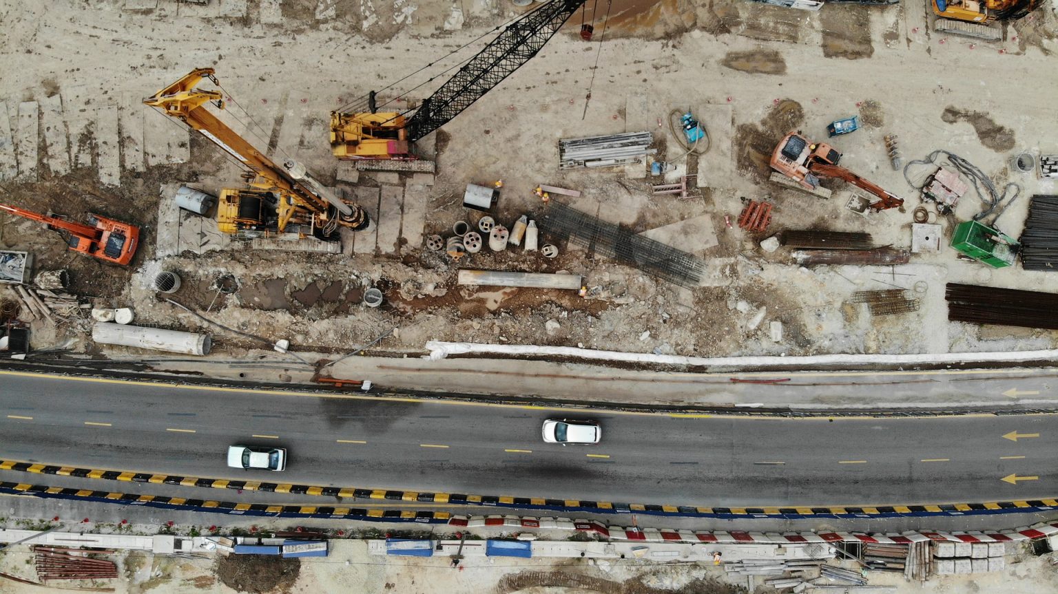
- Monitoring of construction progress while underway, or historically
- Monitoring for operational maintenance and service optimisation
Earth Observation creates insight from a wide range of imagery
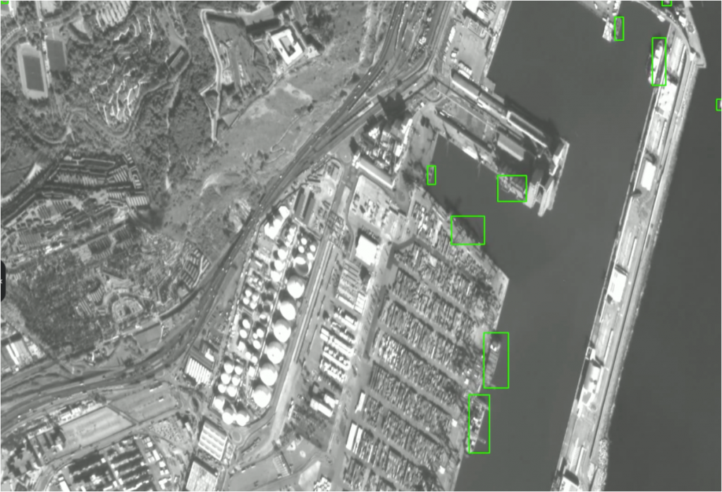
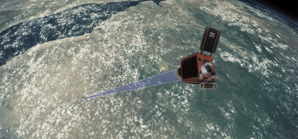
Infrastructure monitoring works by analysing a range of space imagery from optical and radar sensors such as:
- Vegetation and water detection
- Land cover benchmarking and change monitoring
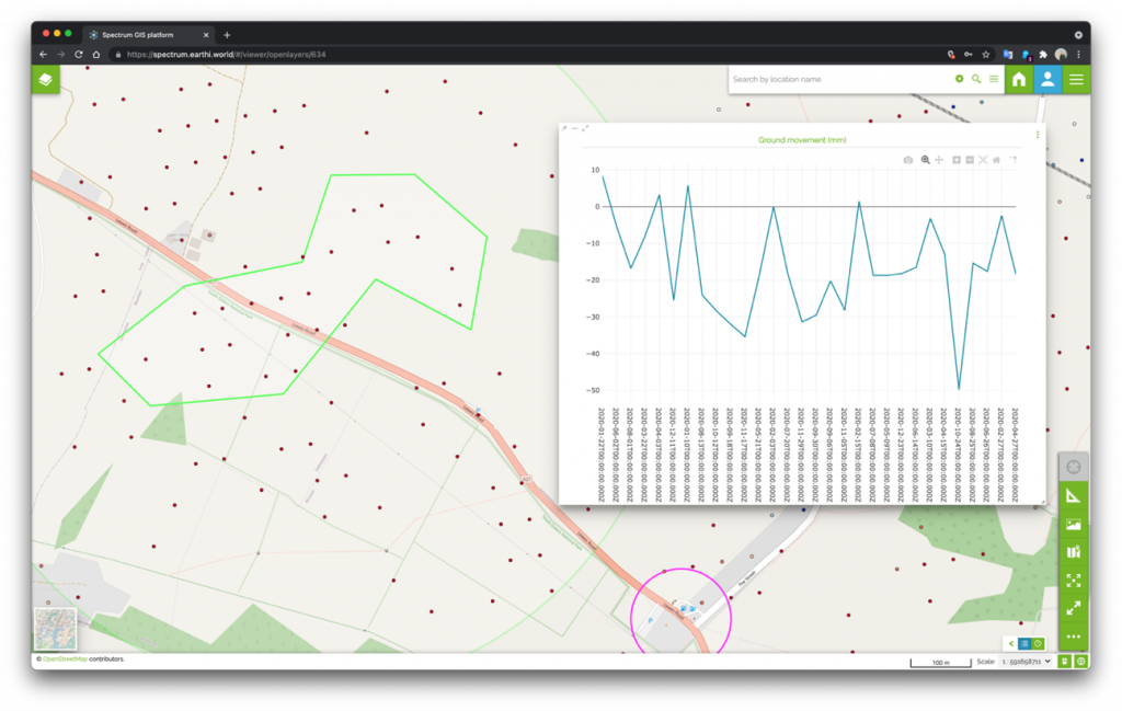
- Millimetre precision very high resolution (VHR) ground movement
- Object detection and classification
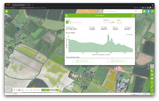
- Terrain height modelling (digital terrain and surface models)
- Third party data integration (e.g. land registration, weather, utilities)
These inputs are combined to provide a dense layering of analytics which, when used together provide a variety of insights.
How do customers make use of Earth Observation infrastructure monitoring?
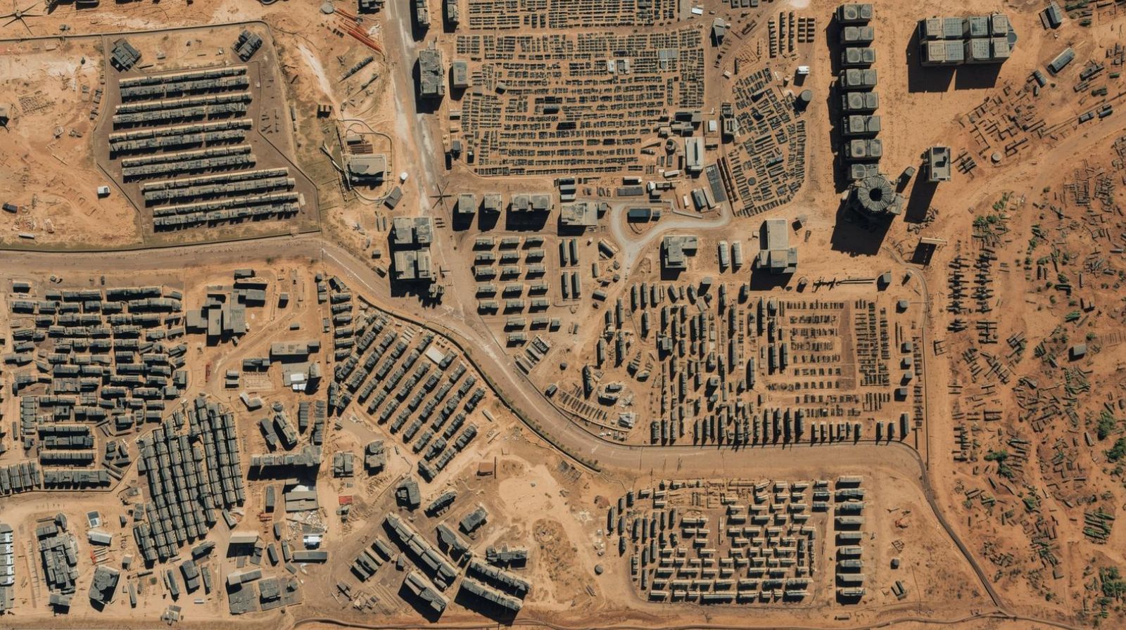
Construction companies and consulting engineers use Earth Observation and satellite imagery insight to assess risks to their civil engineering building works and surrounding infrastructure. They might identify unintended ground movement, unexpected works next to the site (e.g. adjacent building works that affect site drainage stability), or burrowing issues caused by wildlife. This insight is used while planning construction and infrastructure projects, for monitoring during the build phase, and for ongoing maintenance.
Our users access these imagery layers through our easy-to-use web-based GIS platform, Spectrum. Here they can annotate issues they find, view our findings, and collaborate with their colleagues.
All of the analytics are displayed both as individual layers and as change over time, so this draws the attention to areas of importance.