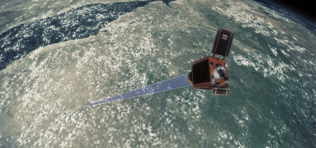
Earth-i provides unique insight from space, and for defence applications we can deliver this to support Multi-Domain integration.
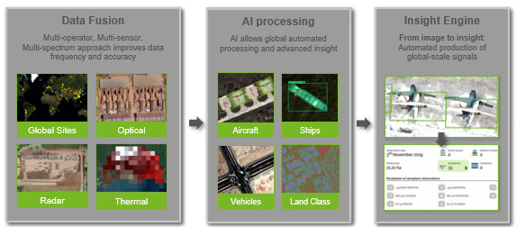
Earth-i uses Data Fusion and AI to transform global satellite data into defence and commercial insight.
Our data fusion platform give global defence and commercial markets insight that’s easy for users to consume in near real-time, with a high revisit rate, a multi-year history and at a low cost.
Earth-i Civilian Satellite Data Fusion Platform
We help with common defence insight problems
As an example monitoring strategic supply chains for sovereign defence and economic security. Are these being monitored in Near Real Time? What about your adversaries’ supply chains? Is every country of interest being covered? Or just the high priorities?
Data Fusion and AI platform
Earth-i has developed a unique capability we’ve spent many years and millions of pounds creating. The platform helps disseminate data via an API feed into the cloud, or deployed on a PC at Headquarters, or on a tablet or smartphone in the field.
Data Fusion
One civilian satellite sensor can’t answer all questions. You need to integrate and fuse multiple data sources to answer valuable questions. You then get more than the sum of the parts: more data points, more frequently, with more confidence, at a low cost.
We’re unique in our ability to access, process, and fuse multiple operator data from both incumbent and new suppliers.
Our experts then create AI models
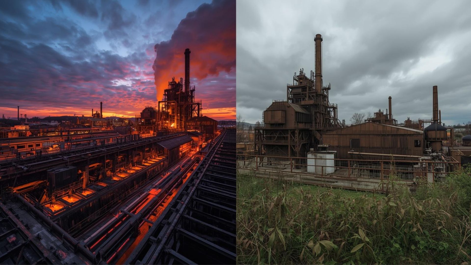
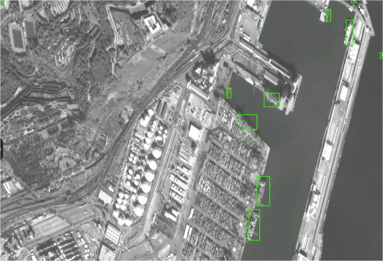
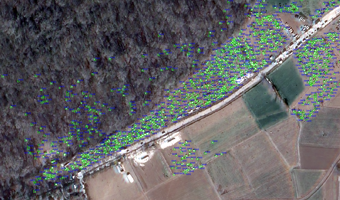
Earth-i’s AI models automate the satellite data processing on a global scale with high accuracy and very little human intervention. We combine thermal, optical and radar imagery with machine learning to identify features of interest
The Earth-i insight engine
The insight engine transforms satellite images into usable insight and downloadable data that clients can evaluate on our portal, or pass seamlessly into the multi domain and control architecture.
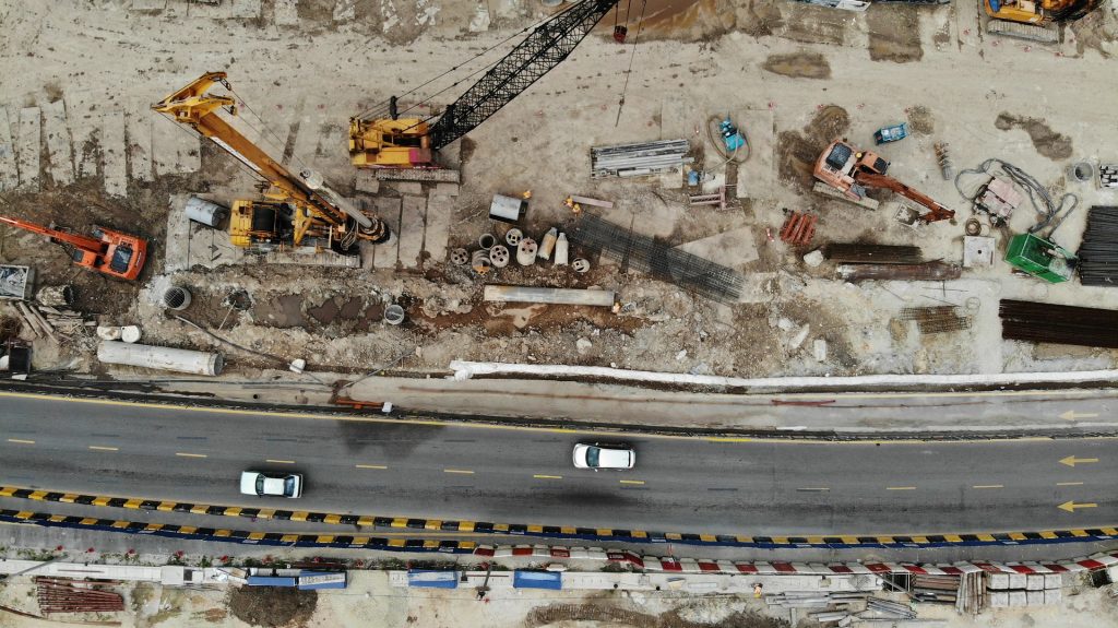
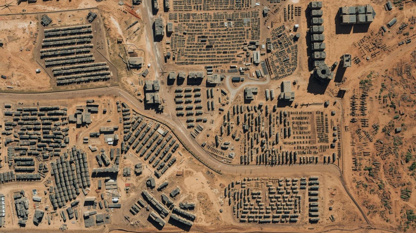
Our unique data fusion and AI platform is fast and scalable. As part of our broad area monitoring service we can analyse an airfield in seconds and 1,500 areas of interest in less than an hour.
Intra-day Border Monitoring and AI-enabled Object Detection
Our systems can be deployed at the core in the public or private cloud, on premise or at the operational edge.
Explore how Earth-i can support your mission.