Monitoring helps with legal dispute
We provided ongoing satellite data to clients in the United States to support a dispute about whether water resource usage is in accordance to a Government Equity Decree. The data was used in a US District Court to help resolve many issues revolving around water use.
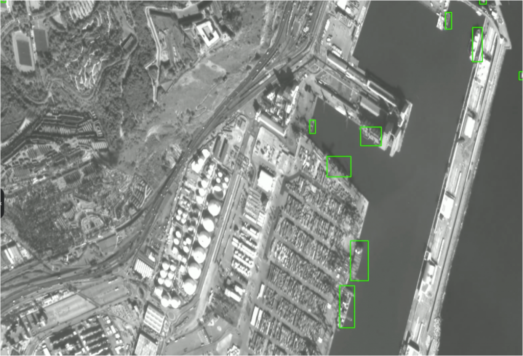
Higher resolution provides more detail
Having previously used 10m resolution data, we subsequently helped the client with ongoing higher resolution imagery to provide even better detail.


