Use Cases
Real World Examples
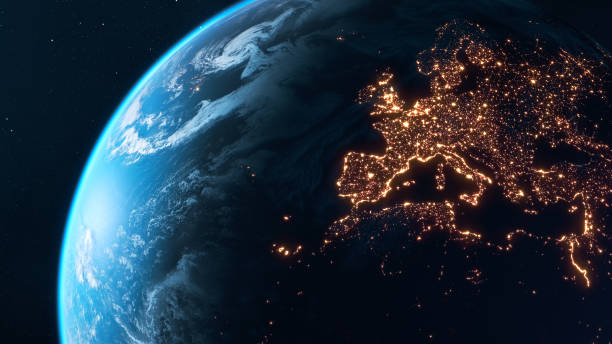
Use Cases for Earth Observation
Earth Observation is used where decision-making requires insight about things that happen in remote locations, across multiple locations or over broad areas; often across the globe. This geospatial insight typically involves changes that happen over time.
There is a huge range of industries and applications for which Earth Observation can help with decision making. For example, it is commonly used to monitor:
- Understanding climate change
- Monitoring our environment
- Border surveillance
- Civilian security
- Responding to natural disasters
- Monitoring global stock-piles and commodities production
Use Cases
Industries & Applications
Metals
Enhanced decision making in the metals and minerals industries, based on production activity.
Agriculture
Remote sensing and real-time data improves decision-making, improving crop yields and reducing production costs.
Defence, Security & Intelligence
Military reconnaissance, detection systems for defence, geospatial intelligence & national security applications.
Government
Enhanced land and carbon management decision making for government organisations, as well as law enforcement.
Production & Supply Chain Monitoring
Monitoring of production capacity and supply chains for particular industries.
Infrastructure Monitoring
Monitoring state and organisation locations for potential infrastructure problems.