Mapping is an essential for the rapid rise of location-based service
With the rapid rise of location-based services and applications, accurate mapping solutions are essential enablers for a wide range of user communities. Geospatial data is putting National Mapping and Cadastral Agencies (NMCA) at the very forefront of the economic and social development of their nations through the development of fit-for-purpose spatial data frameworks. See our e-Guide on why geospatial data is integral to the wellbeing of nations.
How Earth Observation is used
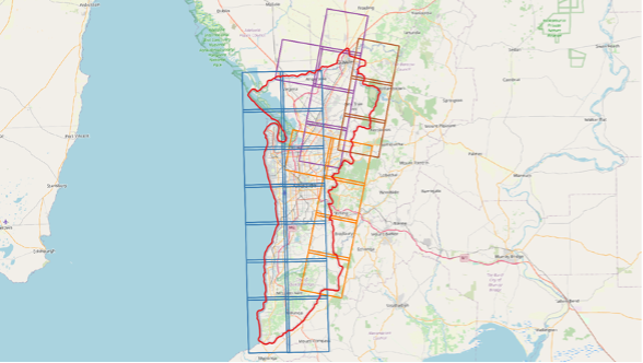
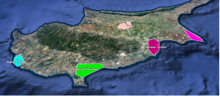
Very high-resolution Earth observation satellite imagery provides a critical baseline for creating effective GIS strategy and the foundation for a modern National Spatial Data Infrastructure. Rapid advancements in Earth Observation technology now present an opportunity for all nations to build a spatial data framework that’s inclusive, accurate, attainable and affordable.
Earth-i prides itself on the actionability of our Earth Observation data from a range of commercial satellites that provide high quality, detailed imagery to support better decision and policy making. Earth-i provides an integrated, end-to-end, fully managed service that ensures delivery of high-resolution satellite data, image processing and advanced analytics and modelling.
In addition to the data acquisition, orthorectification, pan-sharpening and mosaicking that’s included in our mapping solution, we also provide advanced data analytics for a range of applications.
Sample Applications:
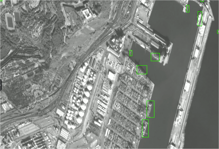
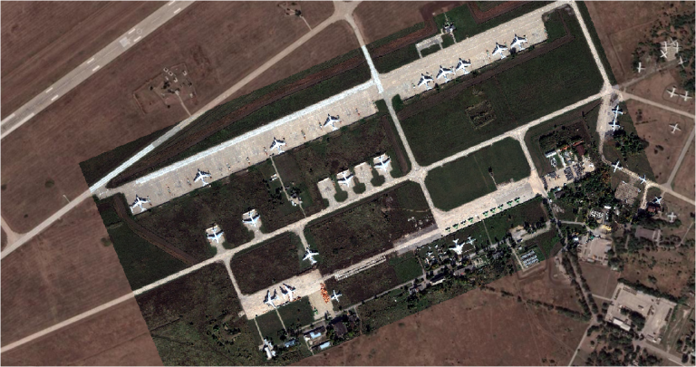
- Land use classification
- Feature extraction
- Boundary identification
- Vegetation health monitoring
- Change detection
- Forestry monitoring
- Environmental monitoring
- Digital elevation models