Organisations can use Earth Observation to monitor infrastructure for a range of use cases, such as understanding risk for construction and road building, managing insurance activities and planning power generation and distribution.
What are the typical uses for infrastructure monitoring by Earth Observation?
Common uses for infrastructure monitoring include:
- Pre-construction survey, search, and routing
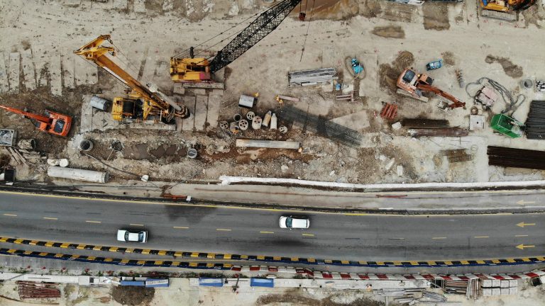
- Monitoring of construction while underway, or historically
- Monitoring for maintenance
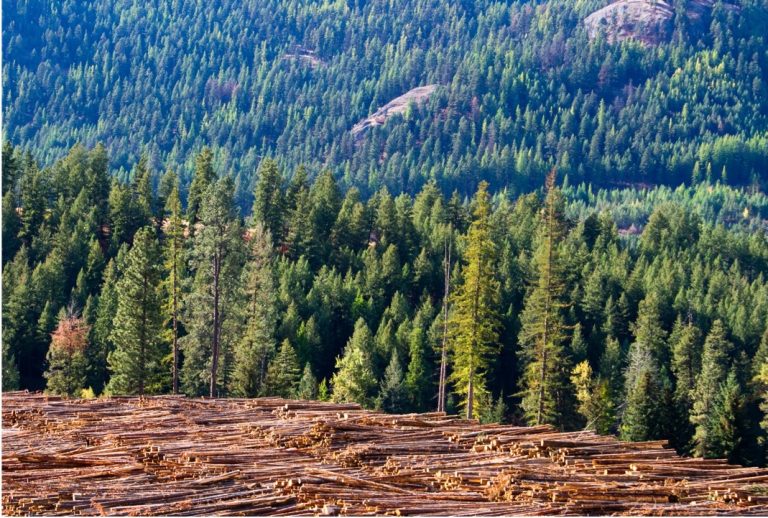
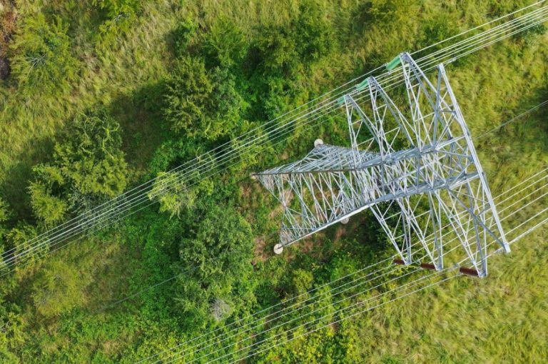
- Monitoring of vegetation around power lines
- Monitoring for insurance purposes
- Searching for appropriate locations for new infrastructure
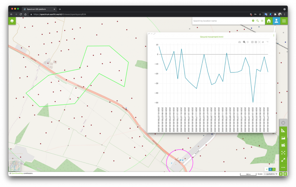
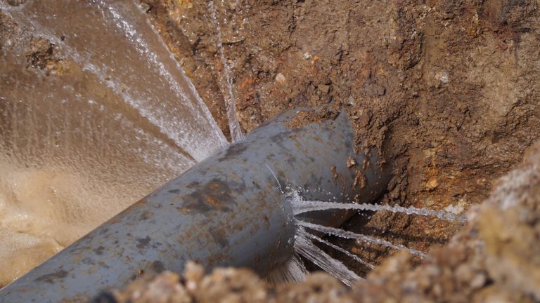
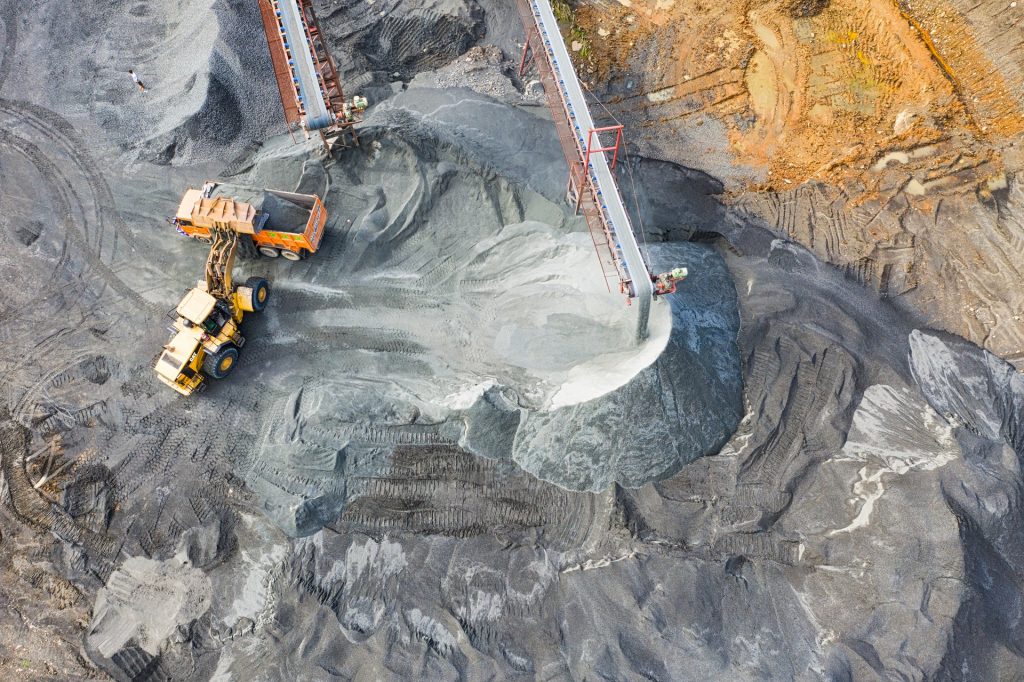
Construction companies and consulting engineers use Earth Observation insight to assess risks to their building works and surrounding infrastructure. They might identify ground movement, unexpected works around the site (eg farmers digging pits that affect drainage), or burrowing issues caused by wildlife. They would use this insight while planning, during the build phase, and for ongoing maintenance.
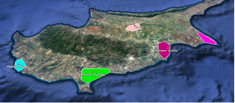
The global insurance industry uses Earth Observation insight to support risk assessments, planning, loss adjustments and claim validations. Having a base map for this information helps them assess and manage risks such as floods and natural disasters and rapidly build ‘catastrophe knowledge’ when an event occurs.
Power companies use Earth Observation to monitor vegetation risks to power lines, and to search for appropriate locations for solar installations.
What data sources are involved in infrastructure monitoring?
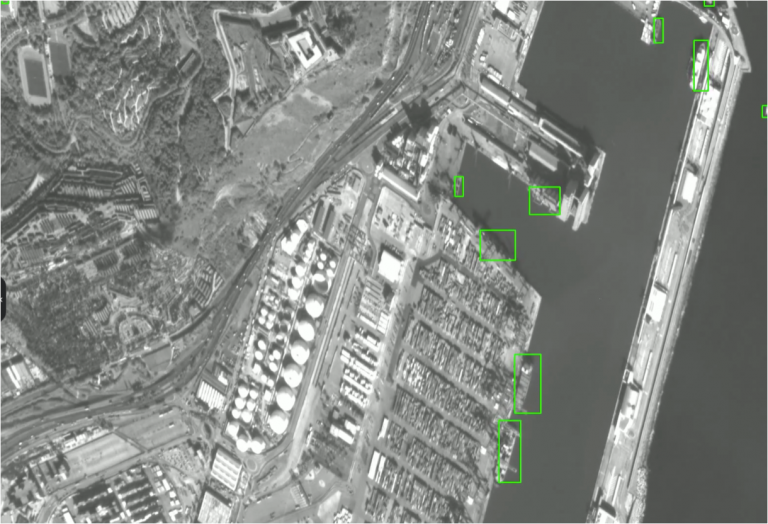
Infrastructure monitoring works by analysing a range of space imagery from optical and radar sensors to derive information such as:
- Vegetation encroachment
- Land cover
- Millimetre precision ground movement
- Object detection
- Terrain height modelling
These inputs are combined to provide a dense layering of analytics which, when used together provide a variety of insights.
How do customers make use of Earth Observation infrastructure monitoring?
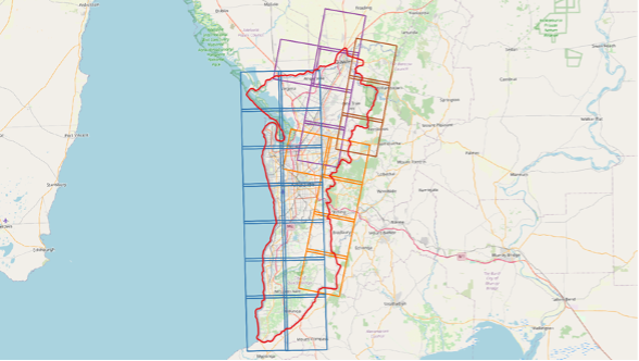
Our users access these imagery layers through our easy-to-use web-based GIS platform, SPECTRUM. Here they can annotate issues they find, view our findings, and collaborate with their colleagues.
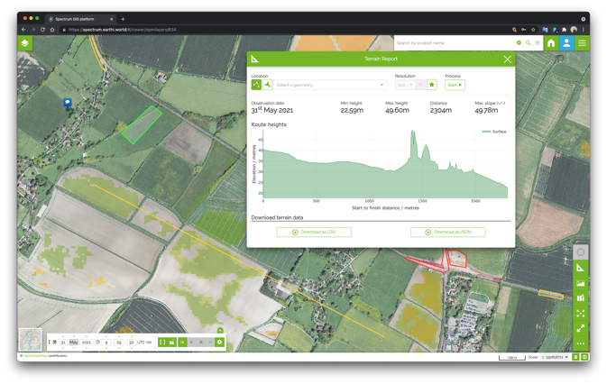
All of the analytics are displayed both as individual layers and as change over time, so this draws the attention to areas of importance.