Blog
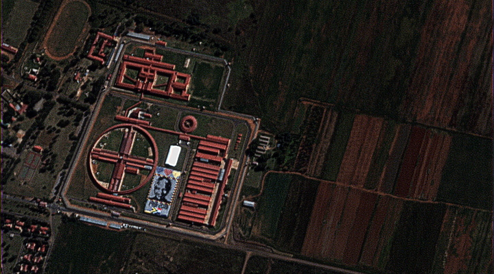
Today marks Nelson Mandela’s 100th birthday, with the 18th of July officially declared internationally as Mandela Day by the…
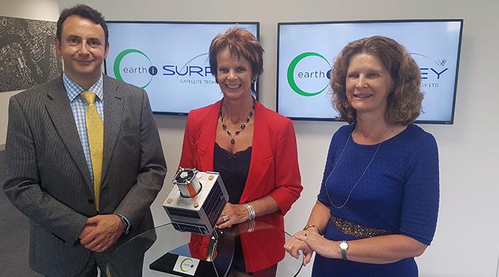
Earth-i was recently named the number one “new space” company in Europe; quite an achievement for a company only…
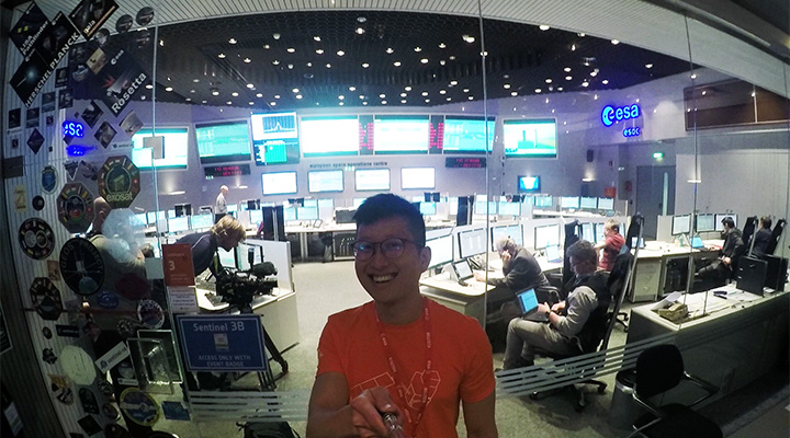
By Xu Teo, Client Services. 25 April 2018, 2032 CEST Darmstadt, Germany European Space Operations Centre (ESOC) We were…
By Owen Hawkins, Product Development Director. Last week, the Centre for Earth Observation Instrumentation held a Mission Challenge workshop…
By Tom Gmerek, Client Services. Image: Marco Island, Florida, captured on 18 September 2017 by KOMPSAT-3A. Hurricane Irma was…
This week members of the Earth-i team will be heading off to Silicon Valley to attend the SmallSat Symposium…
Blog by Nico Spyropoulos, Strategic Engagement (EMEA) at Earth-i. Border Areas are at the centre of today’s geopolitical challenges…
By Adrian Norris, General Manager and member of the Earth-i Launch Team from Sriharikota, India. The countdown has started,…
By Richard Blain, CEO of Earth-i. With less than a week to go until launch of our pre-production prototype…
By Lisa Fleckhaus, Market Analyst at Earth-i. Earth-i attended an informative day hosted by Equity House at Chandos House…
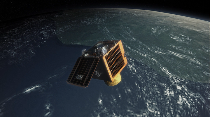
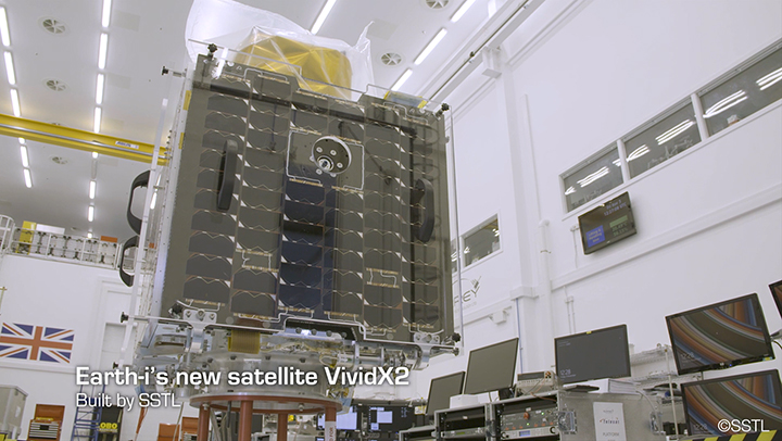
As excitement builds inside the company about the launch of prototype satellite VividX2, we take a look inside Earth-i…
By Owen Hawkins, Operations Director at Earth-i. After a few busy days, at Reinventing Space in Glasgow and the…

