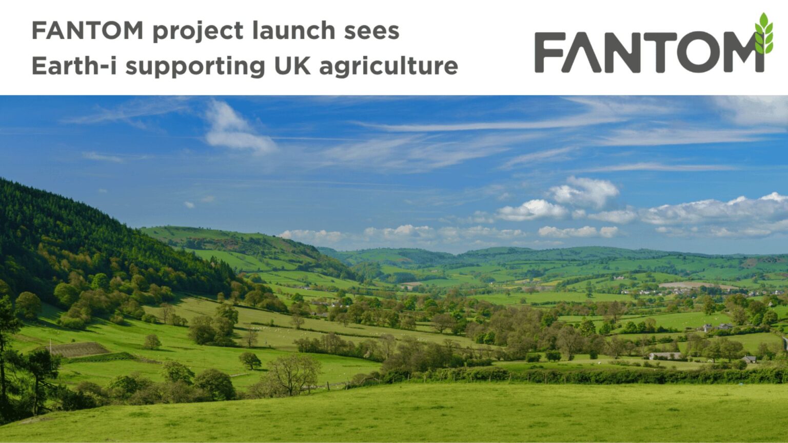
We are delighted to see FANTOM go live, a project that will build a high spatial and temporal resolution UK-centric database of agriculture and biodiversity markers with deep information content. This will support environmental schemes aligned with the UK’s Agricultural Transition, and assist government policy implementations for Net Zero and biodiversity net gain.
Delivering meaningful indicators for sustainability
These markers, schemes and impact assessment layers are designed for government agencies, associated arms-length bodies, NGOs and commercial companies to monitor and measure the progress of their sustainability activities and interventions.
Initially focussed on delivering markers to support schemes for agricultural Paying Agencies, the aim is to ensure that the markers and schemes deliver broad utility across government, non-government and commercial markets.
Furthermore, it will transform the current perception of Earth observation-based land monitoring by showing that it not only looks at the asset itself but also its relationship with neighbouring assets. This supports landscape-level sustainability activities across the wider landowning community.
Supporting decision-makers across the land sector
FANTOM’s primary intended customers are agricultural Paying Agencies in the United Kingdom and the European Union. These organisations make payments to a large number of farmers, traders and landowners. To administer these payments correctly, the Paying Agencies require information about the farming practices of their customer base at the asset level. In many cases, this assessment and monitoring of farming practices can be achieved through automated satellite data analytics.
For instance, where a scheme requires the landowner to sow a cover crop over winter, satellite data can detect the presence of a cover crop (as opposed to bare ground) during the winter months. This kind of remote monitoring is significantly cheaper and easier to deploy at scale than sending a field officer out to examine the field in person—potentially on multiple occasions.
Broadening the use of remote sensing beyond agriculture
There is also a wide range of other users interested in monitoring their land to evaluate its habitat quality and biodiversity value. This includes Paying Agencies, but also other government bodies such as Environmental Ministries, as well as commercial actors such as developers, infrastructure owners and more. These users face the challenge of understanding the impact of their actions and interventions on the wider landscape.
Paying Agencies are interested in whether landowners have complied with the specific management schemes from which they are claiming subsidies. Environment Agencies are interested in identifying breaches of environmental legislation such as pollution incidents. Commercial actors may be interested in monitoring biodiversity or habitat quality to satisfy their own objectives or to demonstrate compliance with legislation, such as biodiversity net gain.
Scaling up monitoring through automation and cloud computing
FANTOM will reduce the amount of time that it would otherwise take these groups to generate monitoring indicators for the farming schemes and legislation being rolled out across the UK—for example, the successor to the EU Common Agricultural Policy. By developing, proving and automating monitoring algorithms, they can be scaled up to regional and countrywide levels with minimal friction. This means stakeholders will be able to monitor the effectiveness of new policies more quickly, and even analyse past agricultural management practices.
This is driven by the recent availability of high spatial and temporal resolution imagery on a wall-to-wall basis—but is only possible thanks to the scalability of cloud compute and storage to deliver low latency products over large areas.
Reliable, flexible and user-friendly data products
The data products offer value through customised, rigorously tested algorithms. When implemented alongside a robust quality control regime, these algorithms provide data that can be trusted and validated with physical field observations.
Depending on user requirements, the data products can be output as geospatial layers in standard formats (e.g. Shapefile, GeoJSON, GeoTIFF), as tabulated statistics, or as a simple traffic light indicator. The markers and scheme assessment outputs are designed to scale reliably and assess the Impact Potential, Technical Feasibility and Financial Viability of monitoring.
Information can be accessed via a dashboard, an API, or integrated directly into a user’s existing systems. This setup can be tailored to accommodate different user needs. A comprehensive training programme will be available to support new users of the system, and support will be provided throughout the lifetime of a user’s access.
Integrating ecological knowledge for long-term value
FANTOM will also promote the integration of ecological knowledge into data products and models that assess changes in Habitat Quality and Biodiversity Potential. This allows customers to understand how schemes are influencing landscape change over time and to incorporate that understanding into ongoing policy development.
Collaboration with experts
Earth-i is collaborating with Specto Natura, an EO consultancy with land monitoring domain expertise and one of the leaders in the development of land characterisation approaches. These approaches are closely aligned with the marker concept used by Paying Agencies.


