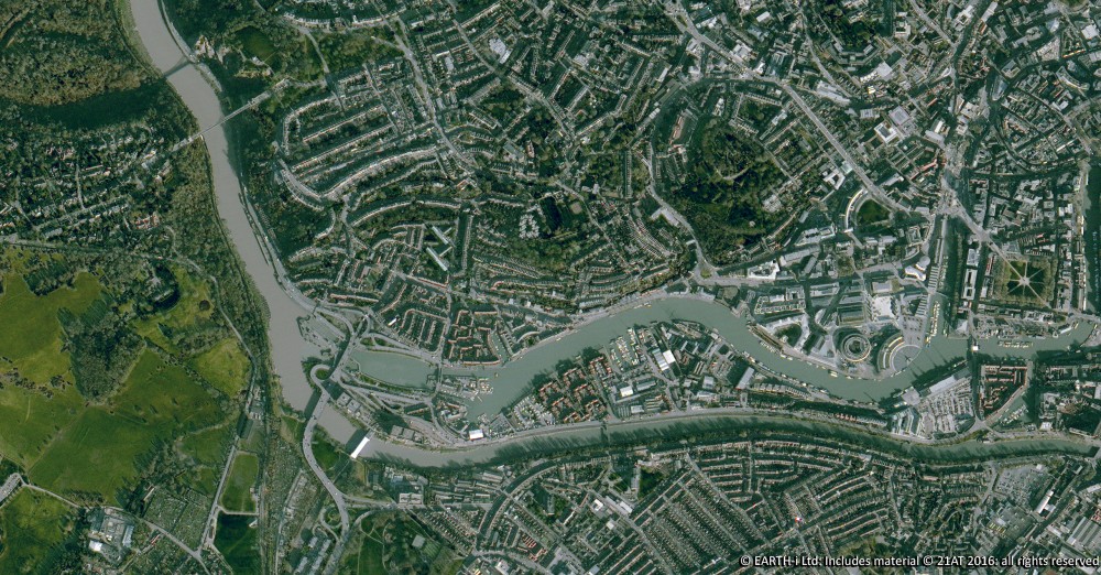
Monitoring land and biodiversity from space makes it possible to assess an entire country consistently, without depending on physical site visits. The difficulty is scale. Individual fields cover relatively small areas, yet the features that matter most can be smaller still: hedgerows, ponds, tree stands, nesting plots and areas of mixed planting. What happens inside a single parcel is also only part of the picture, because its relationship with neighbouring habitats and features can matter just as much.
Earth-i developed FANTOM to address this.
FANTOM is an Earth observation data analytics platform that builds satellite derived environmental indicators for land monitoring. It brings together evidence on ecosystems and their interactions to support better informed sustainability decisions at parcel, sub parcel and landscape level.
Initially focused on the UK, FANTOM was built for national payment agencies and other public sector bodies responsible for monitoring sustainability activities and interventions. It provides data and context for agricultural schemes, net zero activity and wider climate change mitigation, so large areas can be assessed consistently without relying solely on inspections on the ground.
Five connected services for land and biodiversity monitoring
FANTOM brings together five connected services: Agricultural Monitoring, Boundary Detection, Agricultural Feature Detection, the Advanced Land Cover Map and the Biodiversity Potential Index, or BPI.
Together, they provide satellite derived evidence for scheme assessment, compliance monitoring, land use change review and wider land management workflows.
Clients define areas of interest, such as field parcels or farm boundaries, and FANTOM processes satellite imagery to answer practical questions about what is happening on the ground.
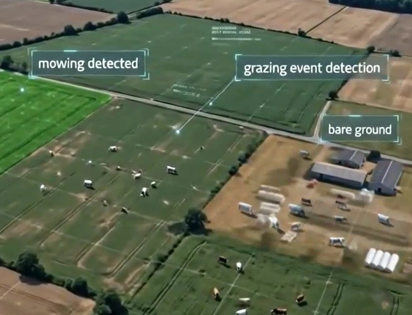
- Agricultural Monitoring provides evidence about vegetation behaviour through the season and whether activity within a parcel is consistent with the conditions of an agricultural scheme.
- Boundary Detection identifies where field boundaries are located and where they have changed. Agricultural Feature Detection adds another level of detail by identifying smaller features within the landscape, including those that can be missed when analysis is carried out only at whole parcel level.
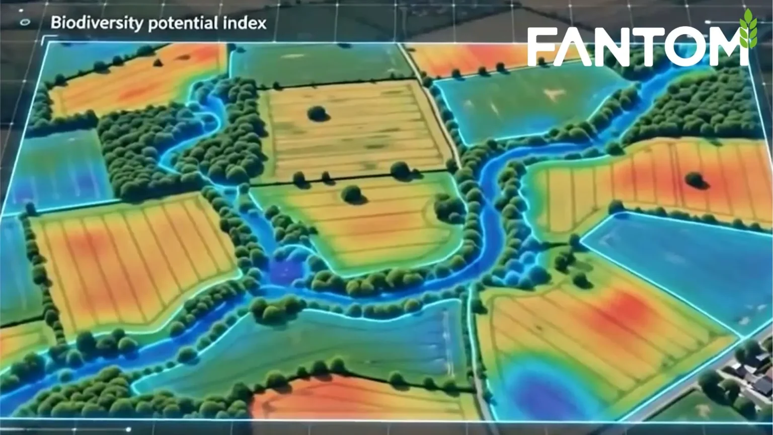
- The Advanced Land Cover Map provides detailed information about the character and distribution of land cover. BPI then provides a relative measure of biodiversity potential, which adds environmental context to the other FANTOM outputs.
These services work together because individual indicators rarely tell the complete story. A parcel usually needs to be understood in relation to the features within it, its vegetation behaviour, its land cover and its connection with surrounding habitats.
Beyond whole parcel monitoring: seeing land in context
Many existing satellite monitoring approaches work primarily at whole parcel level. Smaller features are then overlooked, or the imagery lacks the spatial or temporal detail needed for closer assessment.
Other approaches return individual markers without combining them into a broader scheme assessment. Spatial context, mixed planting, habitat characterisation and change through time can also be difficult to incorporate consistently, particularly when monitoring has to be scaled across an entire country.
FANTOM works differently. Rather than treating each parcel as an isolated unit, the platform considers its relationship with neighbouring features and habitats. That makes it possible to build a wider picture across landholdings and landscapes while keeping the detail needed to examine individual parcels and sub parcel features.
Earth-i already monitors change across critical materials supply chains worldwide, tracking more than 1,500 sites every day, many only a few square kilometres in size. With FANTOM, the task was to apply that experience to countries exceeding 50,000 square kilometres while holding on to the detail, accuracy, speed and cost efficiency required.
Processing Earth observation data at national scale
FANTOM uses external Earth observation sources including Sentinel Hub and the Planet Insights Platform. The platform turns that data into Agricultural Monitoring, Boundary Detection, Agricultural Feature Detection, Advanced Land Cover and BPI outputs that can be used within operational monitoring workflows.
That requires substantial geospatial data to be retrieved, processed and delivered efficiently.
The platform was developed as a multi-tenant system, so several organisations can use shared infrastructure while each organisation’s data stays isolated and protected. The technical architecture also had to account for the size of geospatial datasets and parcel imagery, including the response limits associated with the Amazon RDS Data API and AWS Lambda.
These engineering decisions sit behind a product designed to make Earth observation analysis straightforward to use.
During the project, FANTOM generated high resolution outputs covering England and demonstrated analysis at parcel, sub parcel and landscape scale. The platform takes satellite observations across very large areas and turns them into structured evidence about agricultural activity, land use and relative biodiversity potential.
For the organisations responsible for monitoring land at national scale, that changes what can practically be observed. Broad coverage and local detail no longer have to be traded against each other, which makes it possible to build a fuller view of how land is being managed and how it is changing over time.