
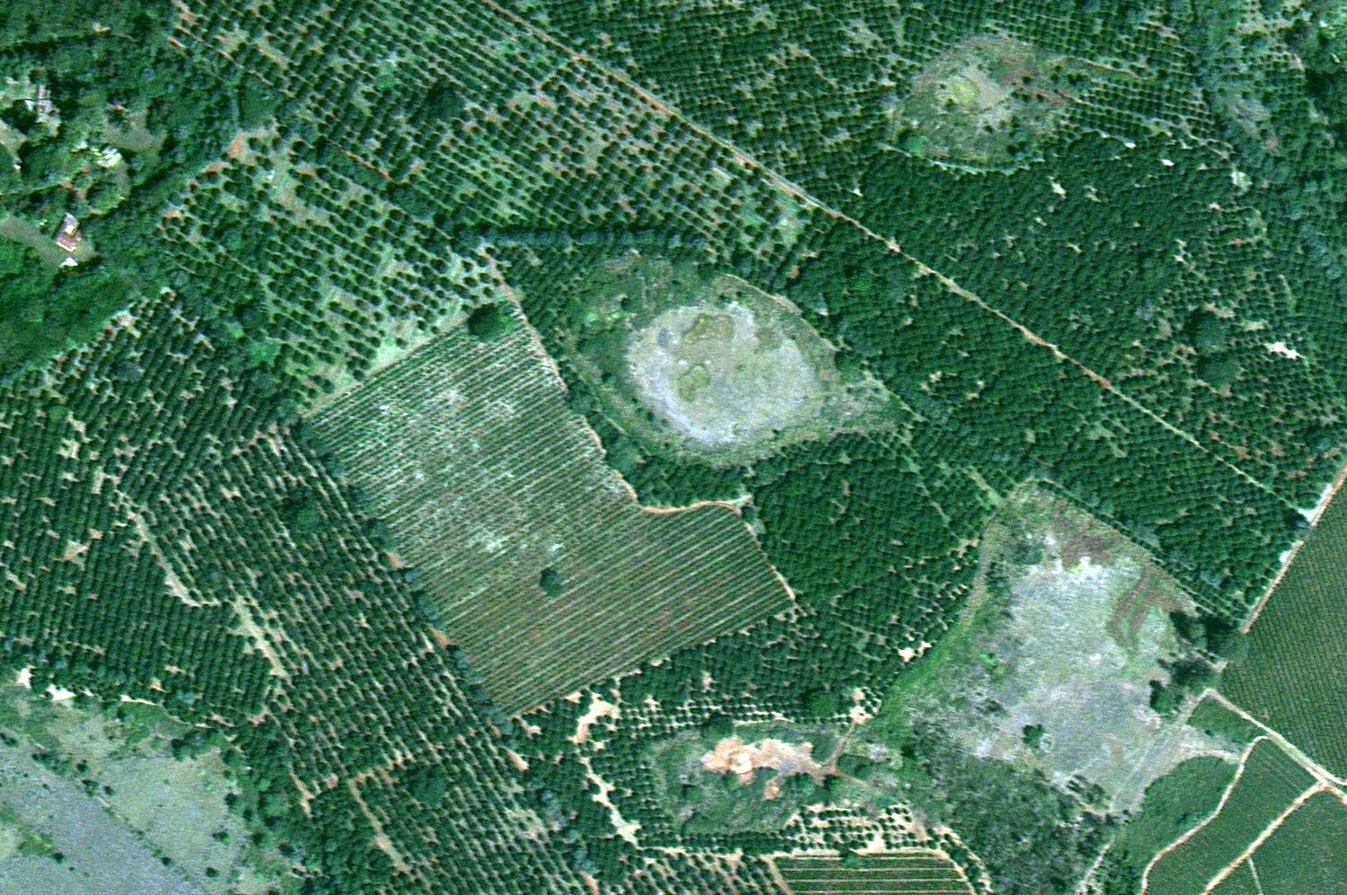
Coffee plantings near Juja, Kenya (colour infrared) – All rights reserved ©21AT ©Earth-i
Coffee production is a multi-billion pound industry, which provides a significant financial boost to the economies of some of the poorest countries in the world. However, factors such as climate change, coffee leaf rust, pests, and extreme weather can potentially cause a dramatic decline in the arabica coffee bean, which is responsible for around 70% of the coffee consumed worldwide. That threatens to push prices of coffee up.
The development of precision agriculture has made it easier for coffee growers to combat some of these afflictions, monitoring the changing weather and saving money for farmers. With Earth observation satellite data, these technological advances are improving crop yield and keeping the cost of your flat white down.
Enabling smart farming
Precision agriculture, sometimes called “smart” farming, is farming that utilises the latest specialised technology. This commonly includes tiny tractor-mounted sensors, high resolution imagery from satellites, drones and a Global Navigation Satellite System (GNSS) combined and analysed with a Geographical Information System (GIS) to make sense of the information pertaining to crucial aspects of the farming process.
According to research organisation Nesta, combining various precision farming techniques could increase a farm’s income by almost 20%. The UK government has thrown its weight behind precision farming, too, approving £3 million worth of funding to improve the technology so far.
Farmers can use very high resolution satellite imagery, gained through services we provide at Earth-i, to help classify crop types, assess crop conditions, monitor crop health, and calculate yield. Accurate information on these aspects of farming is crucial to the success and efficiency of small, family-owned farms and larger expanses of company-owned fields alike.
One particularly effective application of precision farming, as advocated by Bayer Cropscience, is to use aerial imagery to track the growth of blackgrass, a weed which is extremely harmful to cereal crops. Images from satellites or drones can help farmers accurately map where to apply herbicides in order to suppress and eradicate the harmful weeds.
Precision farming also helps farmers predict future yields. Yield forecasting is possible thanks to the non-visible data that remote imagery can capture. Microwaves, infrared wavelengths and electromagnetic information from satellites, drones and sensors can give farmers an accurate impression of yields for upcoming seasons, allowing them to make decisions about planting and investment.
Coffee plantings near Juja, Kenya – All rights reserved ©21AT ©Earth-i
How remote sensing aids coffee-growers
All farmers can benefit from precision agriculture, and coffee growers are no exception. Since coffee is the second most traded commodity in the world, techniques to improve the coffee growing process are in high demand. By mapping the areas where coffee can be produced and monitoring weather patterns, coffee growers can determine the best time and location for maximum growth.
Edward Bressani, CEO of Brazil’s O’Coffee brand, has made precision agriculture a central part of his company’s operations. By getting an accurate picture of the soil in his plantations, Bressani has ended the blanket application of fertilizers. Thanks to satellite mapping, he can fertilize only the parts of his fields that need it. Doing this has cut costs by 30% in some cases, he says.
As well as assisting with fertilisation, remote sensing could help coffee growers tackle some of the larger climate-based complications currently plaguing the coffee market.
Coffee rust is a disease that causes leaves of coffee plants to wither and die. Its outbreak in South America is so widespread that coffee growers in Brazil—the number one coffee exporting nation—have been forced to increase prices astronomically to cover the costs. This caused some blends of coffee to become too expensive for Starbucks.
Precision agriculture offers a solution to South America’s weather-derived coffee growth problems. Many companies have started to offer apps to local coffee growers in Colombia, and in African nations such as Rwanda, to help these farmers access precision farming data at the touch of a button.
With this information, coffee growers can navigate issues such as coffee rust and other extreme weather conditions, allowing them to lower prices once again, and keep your flat whites affordable.
How Earth-i is helping smaller coffee farmers
Working with WeatherSafe, we set up the Accord project to help bring remote sensing to small farms in developing countries who would not otherwise have access to this kind of information. Accord offers smaller farmers in disadvantaged nations the advantages of precision farming at a local level to allow them to compete with their bigger rivals.
If you would like to learn more about Earth-i’s agricultural satellite applications, contact us today.


