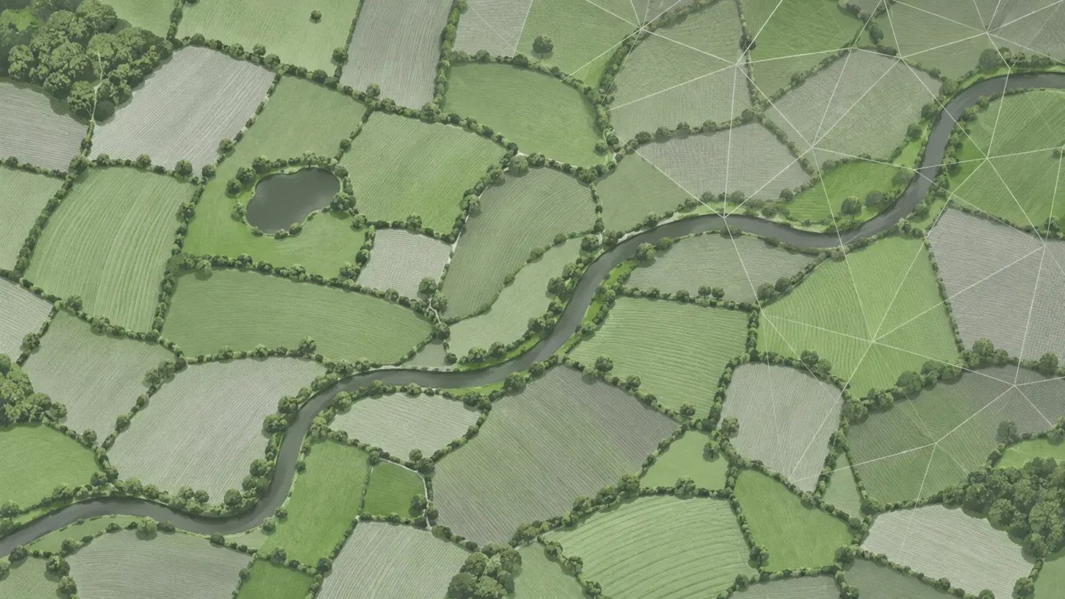
As farmers face growing requirements to protect the environment and demonstrate sustainable land management, satellite technology is giving regulators new ways to monitor farming compliance across vast areas of agricultural land. Combining satellite data, AI and targeted inspections is helping to improve farming compliance for all parties. Satellites give regulators a repeatable view of farmland across large areas, so inspectors can focus on land that shows a possible problem, and farmers can show that agreed land management work has been carried out.
Why is farming compliance an issue?
Agriculture plays a vital role in food production and rural economies, but farming practices can also have significant environmental consequences. Soil degradation, water pollution and biodiversity loss are among the concerns driving the need for a greater understanding of how agricultural land is managed.
In England, farmers must comply with several environmental regulations, while government support schemes such as Countryside Stewardship and the Sustainable Farming Incentive (SFI) have linked payments to specific land management activities and environmental commitments.
However, ensuring compliance remains a challenge.
According to the Environment Agency’s 2026 report, 43% of targeted farm inspections in England during 2025/26 identified non-compliance with environmental regulations. Between April 2021 and March 2026, almost half of inspections found compliance issues.
Although these figures relate to targeted inspections rather than all farms, they demonstrate the continuing difficulties associated with enforcing agricultural regulations.
There are also financial implications. The Rural Payments Agency’s 2024/25 annual report estimated an irregularity rate of 3.77% for Countryside Stewardship revenue payments, equivalent to approximately £21.3 million. Such irregularities can include administrative errors and do not necessarily indicate deliberate wrongdoing.
Why is monitoring farming compliance so difficult?
One of the biggest challenges is the sheer scale of agricultural land.
The Rural Payments Agency (RPA) maintains records covering approximately 2.7 million land parcels across England, representing around 9.75 million hectares.
Traditionally, monitoring compliance has relied heavily on physical inspections, farm records and information submitted by landowners. While these methods remain important, they have limitations, not least that inspecting thousands of farms is time-consuming and expensive, particularly when fields are widely dispersed or difficult to access. Visits also only provide a snapshot of conditions on a particular day, potentially missing activities that take place between inspections.
Some environmental requirements are particularly difficult to assess. For example, determining whether land has remained under suitable vegetation cover, whether field margins have been maintained or whether specific crops have been planted may require observations at different points during the growing season.
There is also the challenge of identifying small landscape features, such as hedgerows, ponds and wildlife habitats, which can be important for agricultural agreements and biodiversity assessments.
How can satellite data help monitor farming compliance?
Earth observation satellites offer a practical way to overcome many of these challenges.
By regularly capturing images of agricultural land, satellites can provide an independent record of how fields and surrounding landscapes change over time.
Combining satellite imagery with advanced analytics and artificial intelligence (AI) enables authorities to identify and monitor activities relevant to agricultural compliance, including:
- Crop monitoring: Identifying crop types and assessing changes in vegetation throughout the growing season.
- Land management: Detecting cultivation, mowing, bare soil and changes in land use.
- Environmental features: Mapping hedgerows, field boundaries, tree cover and other habitats relevant to environmental schemes.
- Change detection: Identifying unexpected alterations to agricultural land that may require further investigation.
Satellite monitoring can cover extensive areas repeatedly, reducing reliance on routine physical inspections.
The technology also supports a more targeted approach to enforcement. Instead of inspecting properties without clear evidence of potential problems, regulators can use satellite-derived indicators to identify areas requiring closer examination.
The RPA is already using remote sensing and machine learning to monitor bare soil, map hedgerows and identify changes in agricultural land. These capabilities can help officials assess scheme requirements and provide farmers with advice before potential problems become more serious.
Moving beyond basic satellite monitoring
Although satellite imagery offers substantial advantages, turning it into reliable compliance information presents its own challenges.
Individual satellite images can be affected by cloud cover, while differences in image resolution can make smaller agricultural features difficult to detect. Equally, examining an individual field in isolation may overlook important relationships with surrounding habitats.
This is where combining different satellite datasets with AI-driven analysis becomes particularly valuable.
Earth-i developed its FANTOM platform in conjunction with the Rural Payments Agency (RPA) to address the challenges of monitoring agricultural land and environmental compliance at scale.
The platform combines agricultural monitoring, field boundary detection, feature identification and detailed land cover mapping with a Biodiversity Potential Index.
By examining land at parcel, sub-parcel and wider landscape level, FANTOM provides a more detailed picture of agricultural activity and environmental change, helping authorities monitor land management practices more consistently and identify potential areas of non-compliance.
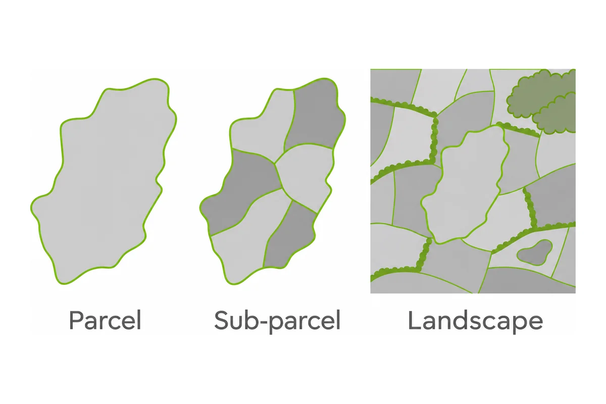
The project demonstrates how satellite monitoring is moving beyond basic crop identification towards a broader understanding of agricultural activity and its relationship with the surrounding environment.
A more efficient approach to compliance
Satellite technology cannot replace every aspect of agricultural inspection. Some requirements, including the condition of equipment, record-keeping and certain pollution risks, still require documentary checks or visits on the ground.
However, its ability to provide consistent, repeatable observations across large geographical areas offers considerable benefits.
For regulators, satellite-derived intelligence can improve the targeting of inspections, reduce monitoring costs and help identify potential compliance issues earlier. For farmers, it offers opportunities to demonstrate that agreed land management activities are being carried out, while potentially reducing the administrative burden associated with inspections.
As agricultural policy places greater emphasis on environmental performance, the ability to monitor change accurately and consistently will become increasingly important.
Satellite data, supported by AI and more sophisticated analytics, is set to play a central role in making agricultural compliance monitoring more efficient, transparent and evidence-based.
Frequently asked questions
Does satellite monitoring mean farmers have to do anything differently?
In most cases, no. Satellite observations are collected remotely, so farmers are not usually asked to install anything or change how they farm. What matters is that the land management agreed under a scheme is carried out as described, because it may be checked from space. Anyone unsure about a scheme rule should ask the scheme administrator.
How often are satellite images of farmland updated?
It depends on the satellite and the dataset. Some commercial constellations capture near-daily imagery, while other missions revisit a location every few days or less often. For compliance work, what matters is how many usable images are captured during the period when a particular activity, such as cultivation or mowing, would be visible.
What happens when satellite data flags a possible breach?
A flag is normally a prompt for a closer look, not proof of wrongdoing. The regulator may review further images, check records or arrange a visit, and the farmer would usually have the chance to explain what happened. Some flags turn out to have a simple explanation. The exact process depends on the scheme and the organisation involved.
What is a Biodiversity Potential Index?
It is a score for how much habitat value a piece of land could offer wildlife, estimated from features such as land cover, field boundaries and neighbouring habitats. Because it is calculated from remote data, it indicates potential and not a count of the species actually present on the ground.
Can satellite monitoring be used outside England?
Yes. Earth observation works wherever satellites collect imagery, so the technology is not limited to England. What changes is the rulebook, because each country, and each nation within the UK, sets its own requirements and decides how remote evidence is used. Earth-i describes its FANTOM project as aiming to transform land monitoring across the UK and beyond.