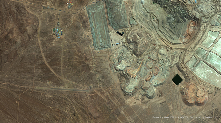
At a time when the rise of digitisation in business is changing the commodity-trading value chain, traders are starting to use satellite imagery analytics to benefit from improved access to market information. As part of a joint venture with Marex Spectron, a world leading commodity broker, Earth-i is unlocking insights specific to clients seeking information on the copper supply chain. The Copper supply chain is highly reactive to a range of different factors such as politics and factory outputs – but a major driving factor behind this volatility is down to a lack of transparency.
Gathering valuable information on the copper market is a challenge, as such information tends to be widely accessible but not always accurate or timely, and is often self-reported by operators and local regulators. Satellite technology can be the one of the few options available to assess what’s really going on, providing the critical ability to support decision-making in near real-time. As part of an end-to-end analytics service for clients seeking information on the Copper industry, Earth-i has been working on providing global context for key points in this commodity supply chain, in particular – the Copper smelting industry.
Using a fusion of different satellite data sources, we have developed a solution to ascertain signals of activity at copper smelters worldwide. This information is timely, with new acquisitions being made every few days on over 100 Copper smelters.
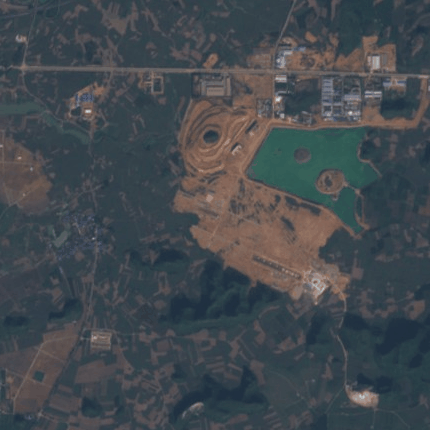
Our tool allows analysts to see the bigger picture, especially into the goings-on in corners of the commodity world where the information is less clear. China alone commands over a third of global copper smelting capacity in 2019, with more smelters becoming operational in the country every year. Our tool monitors soon-to-be-operational smelter sites and is able to identify the moment new smelting capacity comes online.
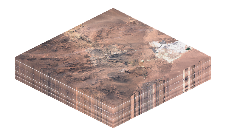
By operating on sources of historical satellite imagery, frequent snapshots of activity on the ground have been processed by computer vision and machine learning algorithms, providing over two years of historical smelter activity data.
Like most major industrial plants, copper smelters shut for maintenance periodically to complete essential repairs but are otherwise running 24 hours a day. Sometimes smelters suffer from unexpected and sudden shutdowns, such as the outages that occurred at the Hamburg, Luenen and Pirdop plants in 2018.
The state-owned Chilean copper company Codelco brought smelters at its Chuquicamata and Salvador plants off-line last December for refurbishments, in order to comply with new emissions regulations. Our algorithms were able to detect outages at these sites within a day of the reported shutdown date. With maintenance initially planned to last until the end of February, restarts have been delayed because of numerous issues, costing millions of dollars for the company. Normal operations are said to resume as soon as possible – and our smelter analysis product will identify them as soon as they do.
Further scheduled maintenance at numerous other major copper smelters is expected to take place this year, leading to an increased possibility for bottlenecks in the market.
Satellite data can be used to glean insights that help us predict supply and demand for some of the world’s biggest commodities. With an at-scale analysis of smelters across our planet, coupled with the existing work we do with volumetric data measured from mining activity, Earth-i can help predict and verify changes in the market, and change the way investments are made with the use of satellite imagery.
If you would like to learn more about how Earth-i is helping commodity traders, please contact info@earthi.space.co.uk.


