At Earth-i, we enjoy the challenges involved in monitoring complex systems such as agricultural production, metals markets and major infrastructure. So, when we got the opportunity to look at construction in our InnovateUK: SatellAIve project, we jumped at it. As an industry that occupies around 20% of all UK private business, and all the complexity that results from that, we thought this was a great application of satellites and Artificial Intelligence (AI). With such a huge number of organisations involved, building an adequate picture of what is happening in construction projects is a real challenge, so surely satellites would help?
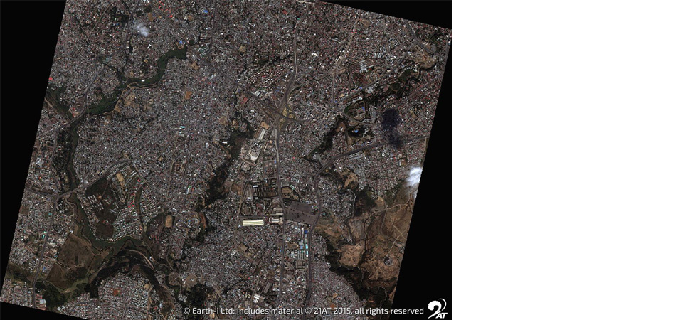
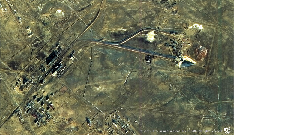
Satellite data gives independent, verifiable reports of what is visible on the ground. In construction projects there can be hundreds, even thousands, of companies working on large projects spanning hundreds of kilometres. So, we can get a snapshot at one point in time across the whole project. But what next? That’s where the AI comes into its own.
Analysing satellite imagery manually is a time consuming and laborious task which meant that previously we just couldn’t get enough people to do it. But AI now lets you do this in minutes. We are using the expertise of our analysts and capturing that in Machine Learning (ML) systems. This means they are spending less time carrying out low level image analytics and more time checking the AI outputs and considering what they mean for our customers, which is a relief for them!
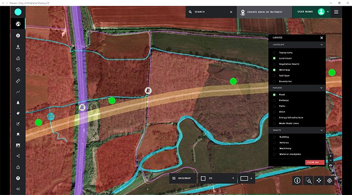
From our discussions with customers, they want to reduce observations often done from helicopter or by walking projects, to reduce wasted time and limit health, safety and environmental risks. So, we give our partners just the relevant changes, and they can rewind, check what happened before and check that essential tasks have been carried out. They can even look further and see what the implications of the build are on the surrounding area.
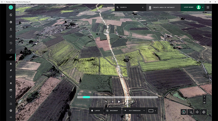
So, will it become a standard tool that everyone will use, just like drone data? Well that remains to be seen, but it does appear to be increasing in forward-thinking organisations. Of course, there are plenty of occasions where you need the expert opinion of an inspector who can sign off building works or need to take a team on site to discuss the project in situ. But for the site manager, the project owner and those needing to see what is really going on, we believe that satellite monitoring is the only technically feasible way to check progress reliably across large areas, to adequately survey at bid stage or to geolocate all the other observations now happening on projects, such as those from CCTV, drone, IOT and close-up photography.
Earth-i are working with construction companies, project owners and others to find opportunities where value can be added to the satellite data received. This means we can make a program that is more intuitive, efficient, and easier to use, so we know that our partners will benefit from it.
To find out more about Earth-i’s SatellAIve, please email info@earthi.space.co.uk.
Earth Observation specialist brings over 25 years technology and applications experience to company offering daily high-resolution imaging and data…

