By Lisa Fleckhaus, Market Analyst at Earth-i.
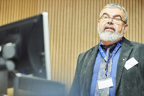
Earth-i attended an informative day hosted by Equity House at Chandos House in London, where geospatial professionals, academics, financial risk and commodity analysts from the US and Europe, came together to discuss ‘Satellite Imagery for the Markets’. It was a popular event, with great networking opportunities to meet industry specialists. The main aim of the seminar was to emphasise the growing capabilities that satellite technology can offer financial professionals.
My sense is there is a growing appetite for highly accurate, frequently updated data and information to help traders make better, more timely and more accurate decisions.
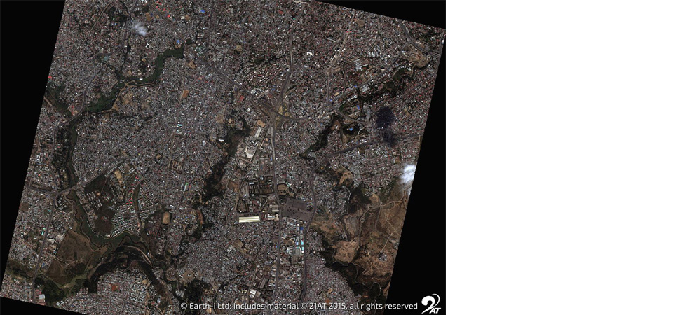
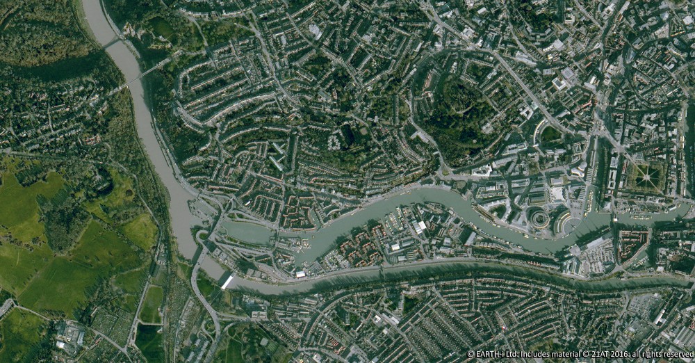
As big data evolves, each industry is starting to explore the latest technological developments and capabilities that are applicable to their industry. Satellite imagery is a key data source which has seen rapid evolution over the last few years, and many industries are beginning to explore the insights that this data can unlock. With the increasing application of big data tools satellite data is being used to derive insights from large-scale and frequent monitoring to improve decision making and forecasting.
One of Earth-i’s partners, SpaceKnow, were just one of the many stimulating speakers, presenting a variety of case studies from sectors which included government, defence, risk and asset management.
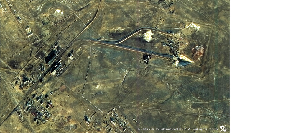
Speakers shared their experiences by show-casing several case studies to prove the value that satellite imagery could provide to commodity traders. This ranged from monitoring economic activity by measuring the light intensity around nations; to monitoring oil storage tanks to understand volumes. Both in turn would improve forecasting for supply and demand in the commodity and energy markets.
Delegates also discussed the need for cloud-based machine learning that can interpret satellite imagery data to enable faster and more accessible data when forecasting for traders. The practical considerations were widely debated in an excellent Q&A session where a number of market challenges were raised. Potential satellite data users explained how each use case could provide value to their industry and line of work.
A key takeaway was that the validity that satellite data had in the commodity trading and investment market context. There is a high demand for information that is transparent, easily accessible and can be practiced by any level of technical expertise.
Earth-i look forward to continuing to attend workshops and seminars that involve different market segments to ensure we’re delivering the best products to our customers. It’s clear that many industries would benefit from globally available, accurate, frequently updated, high-resolution satellite data and, critically, the analysis and insights derived from it.
To talk to Lisa about this blog, please email: Lisa.Fleckhaus@Earthi.co.uk
Earth Observation specialist brings over 25 years technology and applications experience to company offering daily high-resolution imaging and data…


