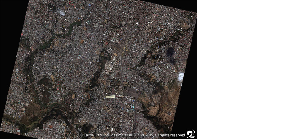
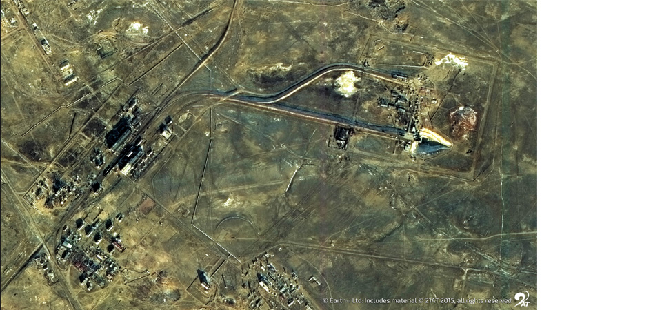
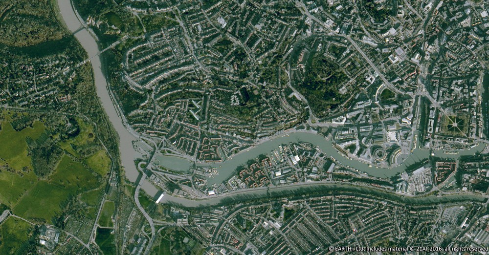
As a multi-source data and imagery provider, Earth-i regularly uses aerial, satellite and drone imagery to derive answers for our customers. In this example, port operators and users have an interest in understanding loading and throughput volumes at port facilities worldwide. Using the high resolution of aerial imagery when needed, along with the rapid global access of the DMC3 constellation and other satellites, Earth-i uses multi-angle imagery to build models of areas of interest for quick analysis. A number of our users look to us to coordinate large scale monitoring campaigns, selectively employing the optimal data source at the right time.
Requirements vary but can include the need to differentiate between material types, avoid cloud cover and gain multi-temporal data to analyse changes in the subject. By automating the processing where we can, we are able to derive indices, extract figures or build models for interpretation by eye. Building the data that comes from these models into a broader modelling environment, Earth-i is able to integrate other information sources such as AIS, open sensor data, meteorological data and others, broadening the possibilities for analytics and delivering bespoke solutions in response to the specified objective.
Here’s a few examples of the input data and output 3D models.
Swipe left and right to see two angles of satellite images of a port Derived 3D model of the port © Earth-i
Earth Observation specialist brings over 25 years technology and applications experience to company offering daily high-resolution imaging and data…


