If you’re a keen gardener, you’ve probably mulched. If not, you might not realise how important it is.
Mulching is the process of applying a layer of an organic material, such as peat moss or wood chips, to the surface of soil. It has a number of benefits for plants, from providing nutrients and locking in moisture, to forming a physical barrier against weeds. It is therefore used the world over to enhance crop growth on a commercial scale, as well as for smaller gardens.
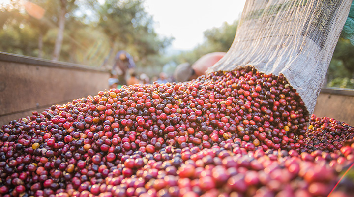
As farming processes go, the technique has deep roots, possibly even being used by prehistoric peoples. But far from ancient history, this process is still crucial for a successful harvest today – for example, an individual may wish to mulch before an upcoming season of particularly dry weather, trapping in moisture from preceding rainfall. Across coffee farms in Africa, dried grass and sometimes banana leaves are used as mulch, with a marked effect on the condition of the soil. This enables farmers to practice intercropping with suitable annual crops during the first few years of the coffee plants, and increased coffee yields thereafter. Precise timing of when to apply it therefore underpins the effectiveness of mulching. Climate change has however introduced significant unpredictability to local weather patterns, the effects of which must be mitigated to sustain consistent coffee yields.
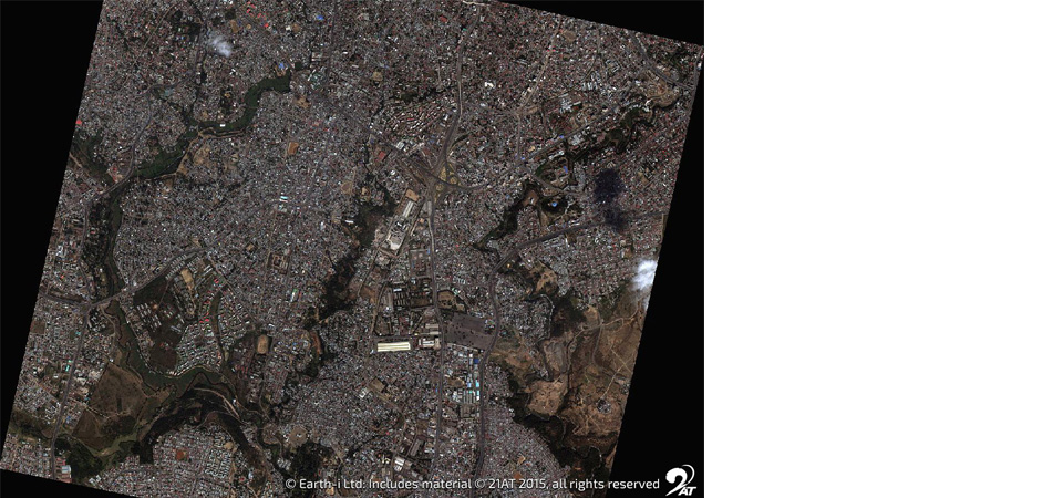
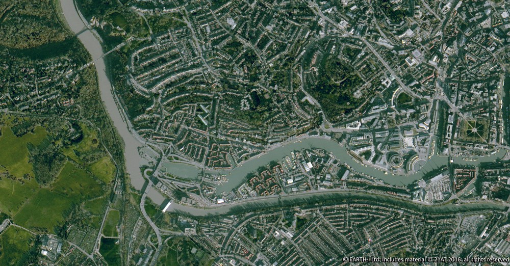
Earth observation satellites, providing images of our world in unprecedented detail from space have a key role to play in delivering the precision needed to mitigate the impact of climate change. Satellite technology is helping to make farming as sustainable as possible, using data to inform decision-making and assess the impact of these decisions. This frequently updated view, can help to minimise inputs and maximise outputs locally down on Earth.
The application of space-based data analytics and insights to coffee farming in particular has the potential to deliver practical and effective solutions. In fact, high-tech satellite-enabled technology is now helping to maximise the efficiency of the generations-old technique of mulching for coffee fields through the ACCORD programme in Kenya and Rwanda, delivered by a consortium of companies led by Earth Observation and analytics specialist, Earth-i.
First, smallholder coffee farmers’ fields are mapped by agronomists using handheld GPS devices and the field maps are subsequently overlaid on satellite imagery. The imagery and mapped fields are then combined with highly-accurate localised climate data and weather forecasting. Together, this data can be used to predict the weather within a five mile radius, as well as provide an early warning of the conditions that make pest or disease invasion more likely.
From the accurate information, coffee farmers can make timely, important decisions about crop management and interventions with greater certainty than traditional methods. They know precisely when to apply pesticides and fungicides, and also… when to mulch!
Earth-i is leading the ACCORD programme, working with partners WeatherSafe and in association with the UK Space Agency to deliver trusted insights to help coffee farmers take action to improve their yields and incomes. Visit the ACCORD website for further information on the programme.
Earth Observation specialist brings over 25 years technology and applications experience to company offering daily high-resolution imaging and data…

