Data Analysis
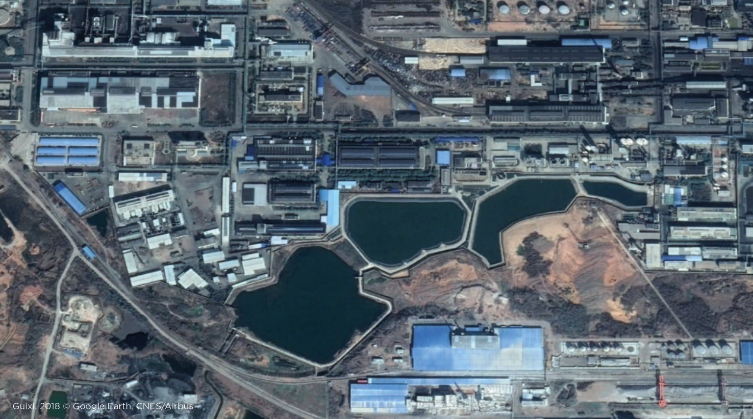
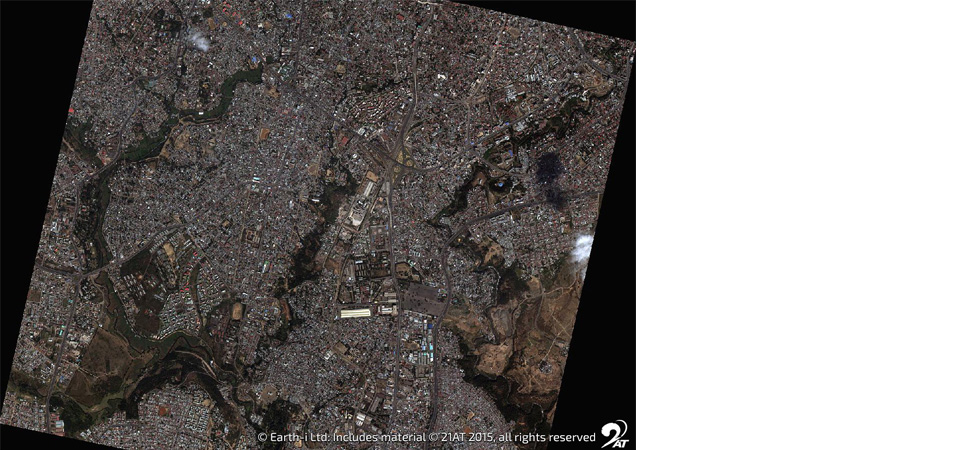
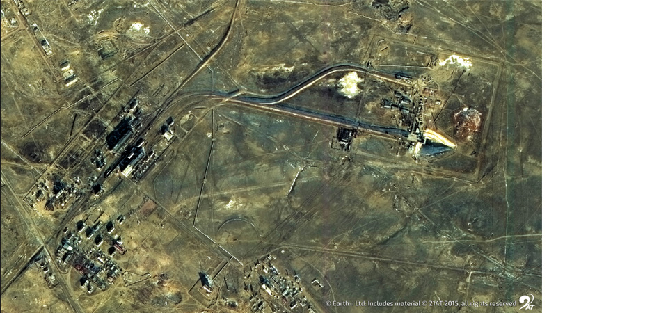
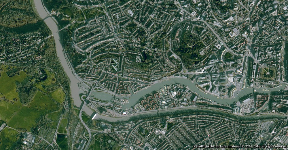
Traditionally, organisations that consume geospatial data need to have specialist skills in order to interpret the data and extract the information that it provides. This used to mean that only organisations having the scale and breadth to justify those geospatial specialists were in a position to benefit from the insights that could be provided by the data. In the case of Earth Observation (EO) data, image analysts were needed who could interpret the satellite imagery and tie the features within the data to locations on the ground. As with satellite ownership, the luxury of employing personnel with this expertise was limited to government organisations such as military or national security agencies or to large corporations.
Advances in technology have brought about a sea-change in access to analysis and insights from Geospatial data. Cloud computing has created virtually unlimited processing and storage capabilities. Alongside this, advances in Machine Learning (ML) and Artificial Intelligence (AI) frameworks – such as TensorFlow – have taken much of the work out of implementing neural networks, which can be trained to create models that interpret imagery (including EO imagery).
These advances have made it possible to automate much of the work previously done by image analysts, allowing EO data to be interpreted at scale and bringing the output of the interpretation to organisations with no specific Geospatial capabilities.
Earth-i SAVANT
A leading example of this is Earth-i’s SAVANT product which utilises EO imagery from satellites to monitor copper mining and smelting operations globally. In a fully automated workflow, SAVANT processes and interprets the image data to create insights into mine production data and smelter activity levels. These insights provide valuable data points to copper traders and analysts far sooner and with more accuracy than is the case with existing market intelligence gathering. Added to this, as satellites can capture imagery globally, SAVANT is able to provide data on mines and smelters not previously available. More importantly, SAVANT provides data that the traders and analysts can use immediately and doesn’t require them to have any Geospatial or image analysis skills.
To find out more about SAVANT by Earth-i, please visit www.earthi.space/savant or email savant@earthi.space.co.uk.
