The challenge of production monitoring
Having access to accurate, reliable and timely data on production and supply chains across the globe is an important challenge that stakeholders in any supply chain face today. This is particularly an issue in metals and minerals.
Historically, data has been collected from a variety of sources including announcements by operators and anecdotal information, none of which are 100% reliable and actionable.
Due to the large number of smelters and producers, local and country restrictions, and commercial operator secrecy, obtaining this data is very difficult and the data itself can be unreliable and inconsistent. The time taken to collect the data also affects its reliability and accuracy, meaning that it is often out of date.
Earth Observation for production monitoring
Earth Observation is particularly well suited to global production monitoring.
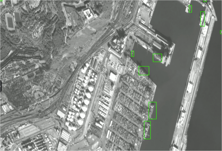
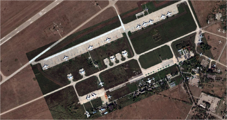
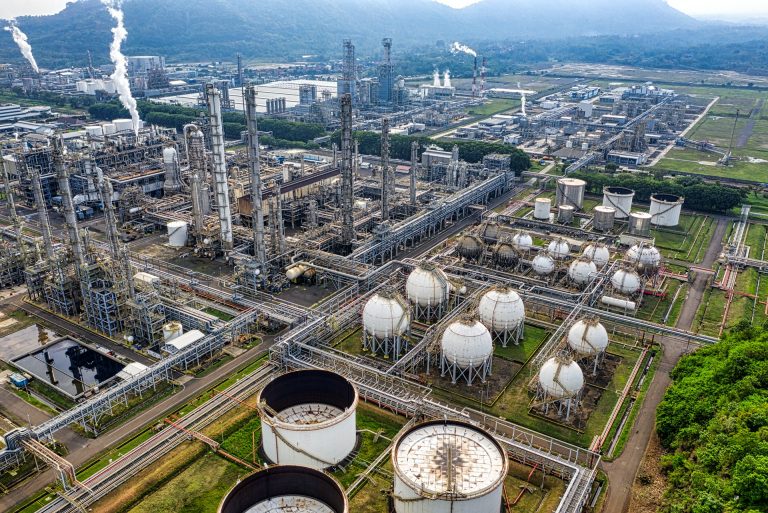
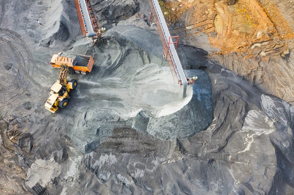
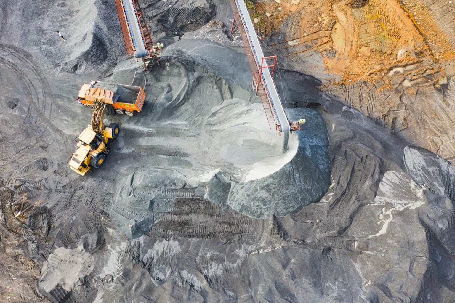
Satellite data can be passed through a series of automated processing steps to detect and measure the characteristic operational fingerprints of individual production sites.
This can vary with factors such as site layout and smelting technology, so each site undergoes characterisation mapping that is constantly updated.
Algorithms can then derive whether characteristic production activity is happening at each site and aggregated into global, regional and country activity and capacity indices.
These determine if activity is taking place.
Dispersion indices can measure how active the production sites are, calculated by weighting and counting the areas of activity (hotspots) that are derived at each site.
An overall picture of production activity is thus built into indices, driven by the activity characteristics of each production site in the index. Available production capacity and activity levels can therefore be derived and studied from a global level down to individual sites, even in opaque markets such as China.
Geospatial data is powerful but is complex to design, to source and to interpret. There are many constellations of earth observation satellites to choose from, with multiple sensor types and bands, each with different strengths and with different handling characteristics. For many applications, insight is best obtained by merging multiple sources, perhaps with external data. Data can become expensive if sourced at high resolution and frequent update, but expert design and automation can extract meaning from lower resolutions and less frequent updates, making insight far more cost-effective.
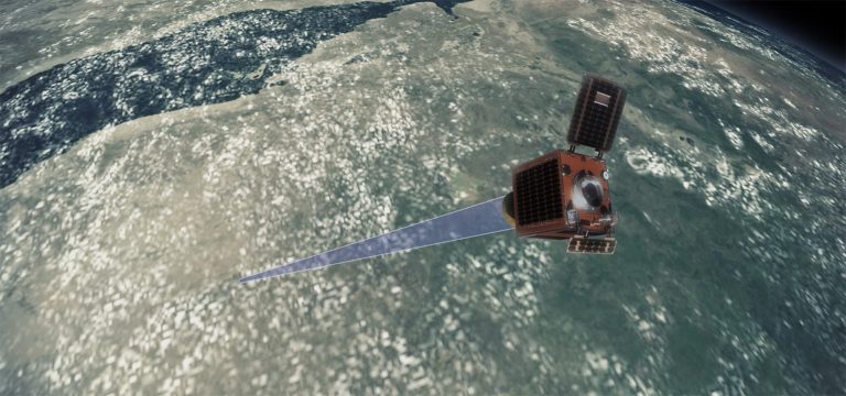
Earth Observation
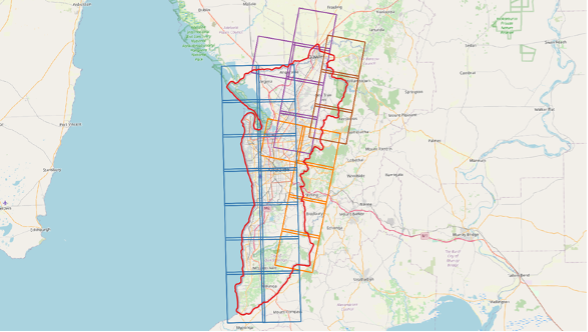
Production facilities are located and monitored by multiple satellite systems.
Artificial Intelligence
Artificial intelligence, machine learning and computer vision techniques are used to derive accurate and verifiable operational status of each production facility.
Production Insight
Global and regional indices of production activity are created and updated daily. Individual facility status and history is also available.
Scenarios
Production Monitoring is particularly useful for
- Metals, minerals and chemical production
- General production stockpile monitoring
- Emissions monitoring
- Production site readiness (construction) tracking
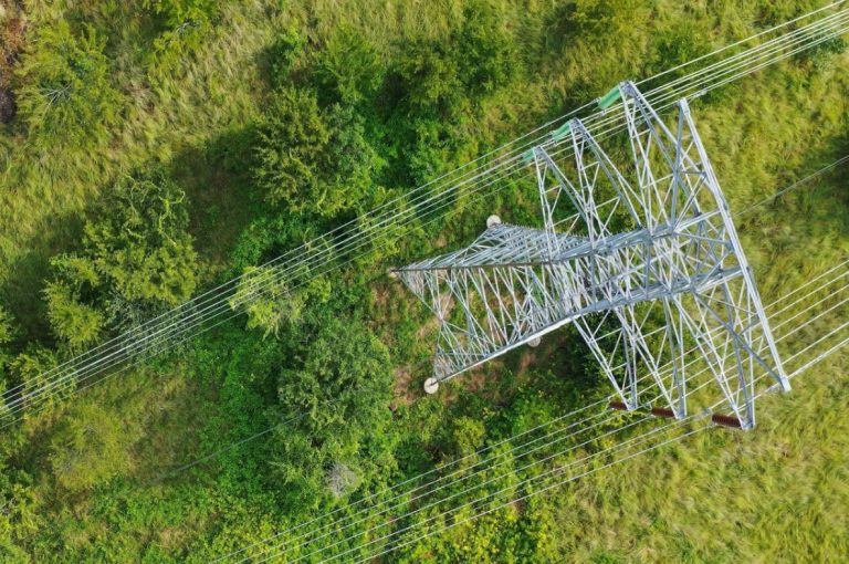
- Activity monitoring
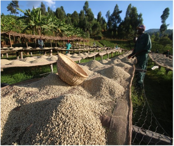
- Agriculture monitoring
Typical uses include planning, pricing, trading, market and competitor analysis.
The Savant Service
For metals and minerals production, Earth-i’s unique Savant service provides indicators of smelter and activities around the globe, in an easy-to-understand format. Savant covers Copper, Nickel, Steel, with more to be added.
Next steps
If you are interested in Production Monitoring, explore our Special Projects, which are ideally suited to setting up bespoke, cost-effective monitoring; or request an informal call to discuss your situation.