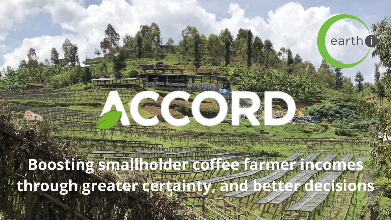
23rd October 2020 – ACCORD is working with more than 40,000 coffee farmers in Kenya and Rwanda and has had some notable success to date.
This case study offers an overview of key successes and learnings of the Advanced Coffee Crop Optimisation for Rural Development (ACCORD) project at the midpoint of implementation. It outlines the context within which the project is being implemented, the problem being addressed, solutions to the problem, partners involved, the pathway to success and results achieved so far.
It also provides initial evidence of the impact on smallholder coffee farmers in Rwanda and Kenya where the programme has been implemented.
Read more here – ACCORD Case Study Progress Review 02OCT20
The ACCORD Coffee programme offers a smarter, data-driven solution by using satellite-enabled technology, combined with localised weather and ground truth data.
ACCORD helps farmers make timely, important decisions about crops with greater certainty than traditional methods. By helping farmers take action to mitigate the risks of climate change, it increases the reliability and sustainability of their coffee berry yield and bean quality. Farmers can rely on and increase the income they receive from coffee harvests, to support their families and protect their livelihoods, and in the long run ensure coffee is sustainable as a cash crop for smallholder farmers.
Read more here – Earth-i’s Accord Programme
About Earth-i
Earth-i is a geospatial intelligence company using machine learning, artificial intelligence and Earth Observation data to provide unique and relevant insights, derived from diverse geospatial data, that deliver clear decision advantage for businesses, governments and other organisations.
Earth-i provides advanced analytics using automated interpretation of a range of geospatial Earth Observation data sources including colour imagery, colour video, infra-red and radar from a range of sources including satellite, drone, aerial and ground-based sensors. This data is fused with additional data sources to extract factual understanding and generate predictive insights across a range of markets such as commodities, supply chain, agriculture, infrastructure and defence.
For more information visit:
- Website: www.earthi.space
- LinkedIn: Earth-i
- Twitter: @Earthi_
To find out more please visit www.earthi.space.
For more information about this press release, please contact: info@earthi.space.co.uk


