EARTH-I, the British satellite and image data company, today announced they will be supplying very high-resolution image data of Kenya to Cranfield University to help further develop Cranfield’s Agri-modelling software.
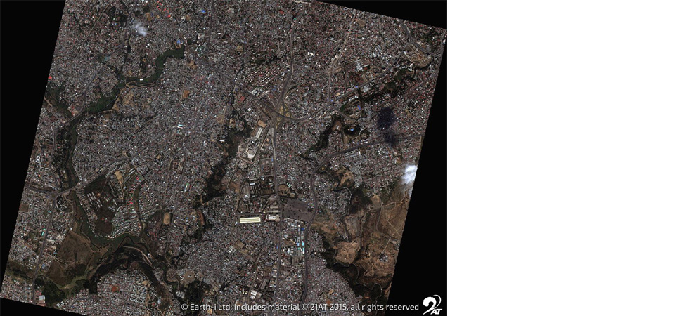
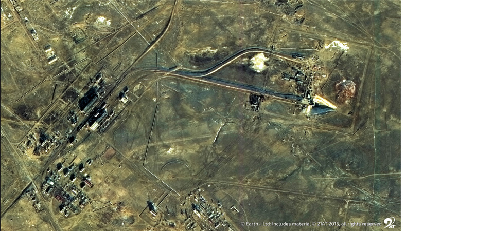
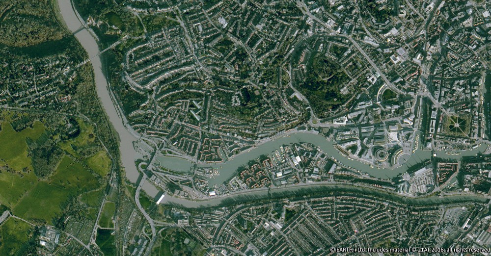
Earth-i will be supplying 2 orthorectified datasets from the British built DMC3/TripleSat Constellation of high-resolution satellites. The constellation consists of three identical optical satellites in near-polar orbit, offering very high-resolution (80cm detail pixels) and 3.2 metre four band multispectral data for any location on Earth.
Paul Majmader, Commercial Director, commented: “Cranfield University is an exceptional institution and we’re pleased to be supplying data to help develop their research. We are confident that the datasets we’re providing will help them to unlock the insights required.”
To discuss your imagery requirements, please contact us.
Earth Observation specialist brings over 25 years technology and applications experience to company offering daily high-resolution imaging and data…

