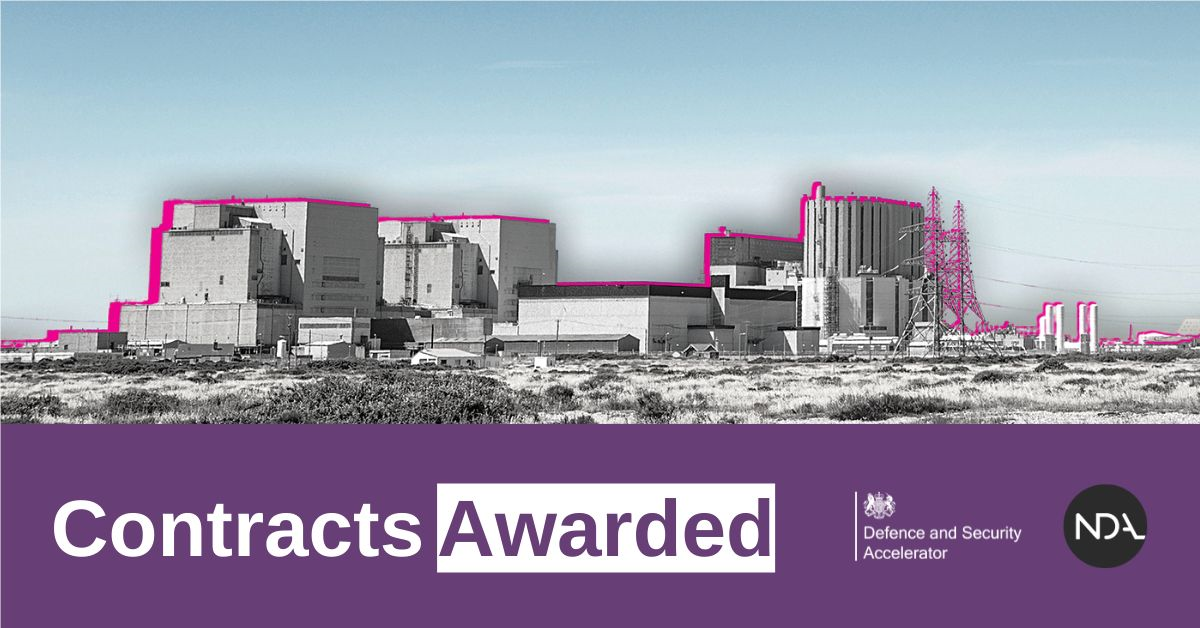
2 November 2022 – Earth-i is pleased to have secured funding from Defence and Security
Accelerator (DASA) through the Remote Monitoring of Sensitive Sites Themed competition for the Nuclear Decommissioning Authority (NDA).
Earth-i employs data fusion, AI processing and automated information generation to help clients harness the power of geospatial insight without needing their own expertise or large budgets.
The Earth-i team is one of 10 innovative organisations that have won funding to develop remote sensing and site monitoring technologies and services.
The NDA is charged with cleaning up the UK’s 17 earliest nuclear sites safely, securely and cost-effectively. To maintain safe, secure operations and to inform future UK decommissioning efforts, it is vital that monitoring, inspection and security capabilities remain fit for purpose and are enhanced where appropriate.
The Earth-i team, alongside their partners UK CEH and SatSense will be demonstrating how the combination of their technologies will improve strategic awareness and tactical insights for the Nuclear Decommissioning Authority (NDA) through the automated collection and AI-enabled analysis of civilian satellite data, providing near real-time, multi-domain geospatial intelligence.
More information is available here: the Over £700k in contracts awarded to fund innovations that remotely monitor legacy nuclear sites – GOV.UK (www.gov.uk)
About Earth-i
Earth-i is a geospatial intelligence company using machine learning, artificial intelligence and Earth Observation data to provide unique and relevant insights, derived from diverse geospatial data, that deliver clear decision advantage for businesses, governments and other organisations.
Earth-i provides advanced analytics using automated interpretation of a range of geospatial Earth Observation data sources including colour imagery, colour video, infra-red and radar from a range of sources including satellite, drone, aerial and ground-based sensors. This data is fused with additional data sources to extract factual understanding and generate predictive insights across a range of markets such as commodities, supply chain, agriculture, infrastructure and defence.
For more information visit:
Website: www.earthi.space
Twitter: @Earthi_
LinkedIn: Earth-i


