Earth-i launches new AI-enabled SPECTRUM geo-spatial intelligence platform
1st June 2020 – Earth-i is excited to announce the launch of our new AI-enabled SPECTRUM geo-spatial intelligence platform.
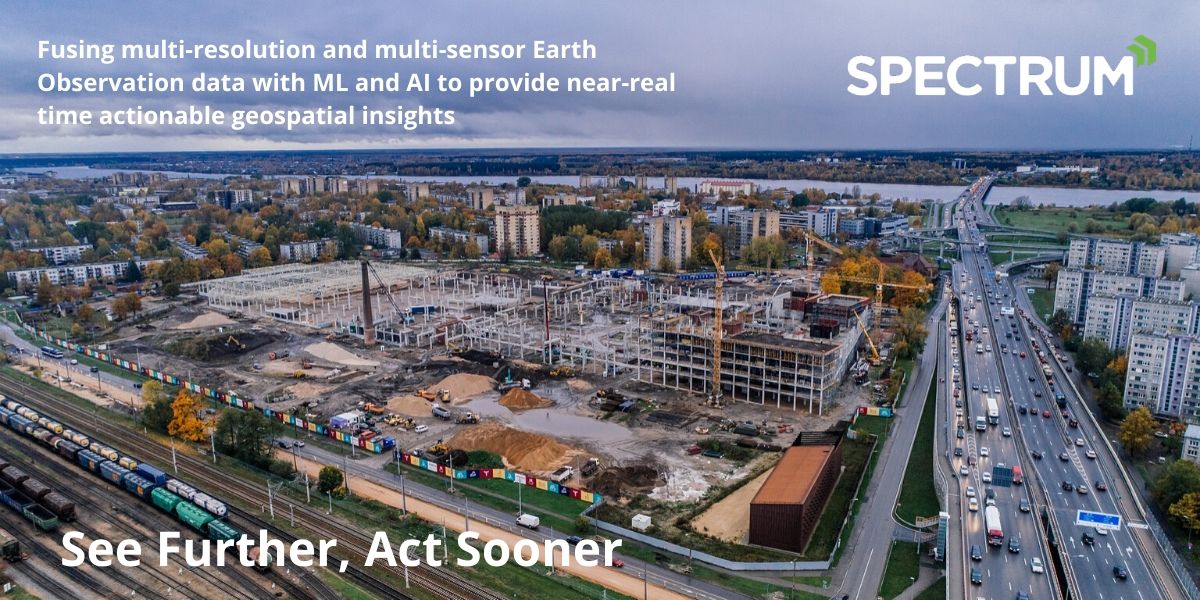
Designed together with world leading consulting engineers and contractors it provides remote monitoring of infrastructure assets, without needing site access or flight permissions.
Ideal for large, remote or globally distributed sites it combines the latest highly effective AI across many data feeds, including satellite video, optical, radar and infra-red, as well as aerial and ground observations, to provide you with customised and proactive alerts and warnings.
The Earth-i approach has been to design our AI-based object and feature change detection algorithms across all remote sensing data options, whether video, high, medium or low-resolution datasets or optical, radar or infra-red. The aim for our technology is to be satellite operator agnostic.
SPECTRUM supports our customers in their move from being reactive to proactively monitoring their global assets during the planning, construction or operational phases – whether an area of land, a road, railway, pipeline, port or industrial facility.
Customers are able to use lower resolution data sets that are more cost effective, have a higher revisit, but get comparable AI accuracy results to when using very high-resolution data. So, you can answer more of your questions, much cheaper and more regularly, or alternatively you can cover 2-3 times the area for the same budget!
Recent project examples include monitoring water leaks nationally, gaining airport competitive intelligence, land classification change detection, and monitoring industrial output.
Please visit the SPECTRUM website for more information, including access to the SPECTRUM video and brochure.
#infrastructureprojects #constructionsector #infrastructure #earthobservation #highways #buildingindustry #constructionuk #remotesensing #geospatialdata #geotechnicalengineering
About Earth-i
Earth-i is an innovative British Geospatial Information provider fusing multi-operator, multi-resolution, multi-sensor Earth Observation (EO) data including satellite video coupled with advanced analytics and geospatial experts to provide near-real time actionable insights.
To find out more please visit www.earthi.space.
For more information about this press release, please contact: info@earthi.space.co.uk


