Earth-i and Satellite Applications Catapult team up for webinar
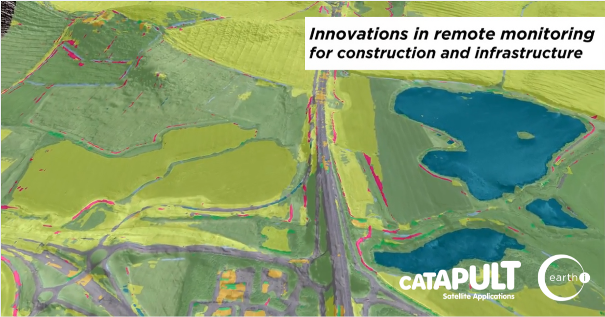
15th May 2020 – As the launch to Earth-i’s new AI analytics platform SPECTRUM counts down, Earth-i will hosting a joint webinar on 21st May 2020 at 2PM with Satellite Applications Catapult titled “Innovations in remote monitoring for construction and infrastructure”.
Register for this webinar to learn more about the project results on Infrastructure which include:
• How to increase the regularity of survey activities, but remotely and so reducing health and safety risks
• How to reduce the cost, complexity and time spent of survey activities
• How to adopt a proactive and preventative maintenance cycle and start detecting issues before they become operational problems
Help detect primary indicators and warnings of geotechnical faults that could impact infrastructure and operation such as:
• Tension cracks
• Slope movements
• Bulges in the slope
• Ground exposed
• Seepage
• Blocked drainage ditches
• Ponding of water
Help detect secondary and tertiary indicators and warnings that may impact infrastructure and operation such as:
• Vegetation overgrowth or die back
• Environmental impact
• Waste accumulation
• Encroachment
Finally remote sensing also allows the independent verification of works and a project record.
Register at: https://buff.ly/3cas4KN
Relevant to users in road, rail, energy, building, manufacturing, finance and asset management, with the project nearing a successful completion, the Spectrum system will be launched shortly, available to support end users monitoring projects and assets around the world.
#infrastructureprojects #constructionsector #infrastructure #earthobservation #highways #buildingindustry #constructionuk #remotesensing #geospatialdata #geotechnicalengineering
About Earth-i
Earth-i is an innovative British Geospatial Information provider fusing multi-operator, multi-resolution, multi-sensor Earth Observation (EO) data including satellite video coupled with advanced analytics and geospatial experts to provide near-real time actionable insights.
To find out more please visit www.earthi.space.
For more information about this press release, please contact: info@earthi.space.co.uk


