Earth-i and SatSense partner to deliver proactive global asset risk monitoring
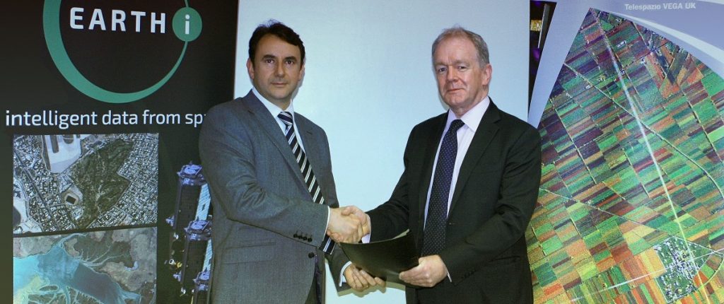
22nd October 2020 – Earth-i, a leading provider of satellite data AI analytics, and SatSense, a leading high resolution ground movement data provider, have joined forces to integrate their vegetation monitoring and ground movement remote sensing services to offer a single service to their joint customers.
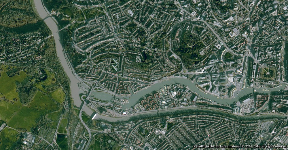
The combined service allows asset owners, asset managers and geotechnical engineers to proactively monitor risk of critical energy and transport infrastructure such as railways, roads, dams and buildings. This comprehensive global service offers over 5 years historic and ongoing analysis ready data (ARD) to provide an accurate baseline from which to identify change detection and risk based upon customer set thresholds. The service combines ground and structure movement data down to 1-2mm/yr accuracy with vegetation location, health, density, clearing and encroachment indices. The service is offered on a weekly, monthly, quarterly, annually or custom basis to meet client requirements and combines optical and radar remote sensing data.
Earth-i & SatSense’s asset risk assessment solution, combines multi-sensor and multi-resolution satellite data with machine learning techniques, to identifying assets at the highest risk of critical failure. By implementing this asset risk assessment service, asset owners and maintainers have a single view of the risk across all their assets allowing them to make faster, and more accurate data driven asset management decisions and reduces cost by moving away from a blanket maintenance programme to an as required approach.
On the partnership, Earth-i’s Owen Hawkins, Product Development Director said:“We have been working with SatSense on global infrastructure projects and it made sense to meet user needs with a combined offering. Providing historic and on-going monitoring to proactively identify risk for asset owners, asset managers and geo-technical consultants in a single platform makes it easy to interpret and act on our alerts and warnings. Further by using multi-resolution and multi-sensor data sources we can deliver these unique service cost-effectively while reducing other costs and risks by reducing the need for manual inspection”.
SatSense CEO Matthew Bray added: “We are always innovating to better protect the things that matter most to people. Working with Earth-i on joint projects has shown the value we can provide to asset owners, and highlighted that we share a common ethos to delight our customers with our service. We are excited to be teaming up to deliver a valuable service that customers have not been able to source as a single package before. Whether a single asset or multiple assets dispersed globally, the combined service can scale cost effectively to accurately monitor risk remotely, at a high frequency, at a low-cost point”.
For more information please visit www.earthi.space/spectrum or www.satsense.com/news
About Earth-i
Earth-i is a geospatial intelligence company using machine learning, artificial intelligence and Earth Observation data to provide unique and relevant insights, derived from diverse geospatial data, that deliver clear decision advantage for businesses, governments and other organisations.
Earth-i provides advanced analytics using automated interpretation of a range of geospatial Earth Observation data sources including colour imagery, colour video, infra-red and radar from a range of sources including satellite, drone, aerial and ground-based sensors. This data is fused with additional data sources to extract factual understanding and generate predictive insights across a range of markets such as commodities, supply chain, agriculture, infrastructure and defence.
For more information visit:
Website: www.earthi.space
LinkedIn: Earth-i
Twitter: @Earthi_
About SatSense
SatSense provides precise and up-to-date, high frequency and global high-resolution ground stability insight using data from satellite radar. Founded by leading academics, Professor Andy Hooper and Professor Tim Wright at the University of Leeds, SatSense offers deformation data at a greater level of accuracy and granularity compared to other techniques and data suppliers.
This high quality ground movement data is made easily accessible – whether for viewing via a visualisation portal, or streaming into customers’ own systems, or via API or download. Within seconds, customers are able to gauge movements of the ground as little as a few millimetres – vertically or laterally – over an area of a few square metres to entire countries. Historical analysis can be quickly performed, and automated alerts allow customers to stay informed of detected significant movements.
For more information visit:
Website: www.satsense.com
LinkedIn: SatSense
Twitter: @SatSenseLtd
For more information about this press release, please contact: info@earthi.space.co.uk
#earthobservation #alternativedata #ai #remotesensing #geospatialdata #geotechnicalengineering
Earth Observation specialist brings over 25 years technology and applications experience to company offering daily high-resolution imaging and data…

