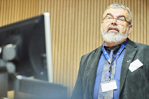
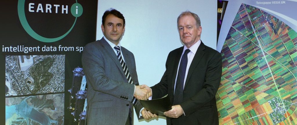
27th October 2020 – Earth-i is pleased to announce the promotion of Gary Crowley to Head of Technology.
Gary, after 20 years in the space industry, has accumulated a rare wealth of knowledge and experience across the whole EO value chain from mission design and operations through to the processing and delivery of downstream analytics products and services. He is responsible for developing Earth-i’s technology roadmap and product family.
Gary Crowley, Head of Technology at Earth-i added,“I am delighted to have been appointed as Head of Technology at Earth-i. We are in an exciting period of development and growth, where we are challenging traditional methods of processing and analysing large volumes of EO data. Our innovative approach sees us combining market expertise and knowledge with the latest technology to process EO data using AI. Fusion with other data sources allows us to extract insightful & actionable intelligence for a variety of markets allowing our clients to gain a competitive edge. I am honoured to be a member of Earth-i’s leadership team and help this amazing business with its continued growth.”
Richard Pearce, Earth-i’s CFO / acting-CEO, commented “Gary has a wealth of knowledge across the remote sensing, AI and data science disciplines and is a great addition to the leadership team. I am delighted that we have been able to promote Gary from within as he embodies the DNA of the company. This promotion also demonstrates how the company is growing and leveraging that growth into opportunities for its employees”.
About Earth-i
Earth-i is a geospatial intelligence company using machine learning, artificial intelligence and Earth Observation data to provide unique and relevant insights, derived from diverse geospatial data, that deliver clear decision advantage for businesses, governments and other organisations.
Earth-i provides advanced analytics using automated interpretation of a range of geospatial Earth Observation data sources including colour imagery, colour video, infra-red and radar from a range of sources including satellite, drone, aerial and ground-based sensors. This data is fused with additional data sources to extract factual understanding and generate predictive insights across a range of markets such as commodities, supply chain, agriculture, infrastructure and defence.
For more information visit:
- Website: www.earthi.space
- LinkedIn: Earth-i
- Twitter: @Earthi_
To find out more please visit www.earthi.space.
For more information about this press release, please contact: info@earthi.space.co.uk


