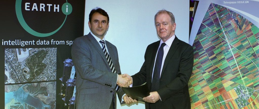
10 October 2024 – London – Earth-i has been selected by the UK Space Agency to lead our Multi-Sensor, Multi-Resolution Co-registration for Earth Observation (MuSeReCo) project – something The Earth-i team is very proud of.
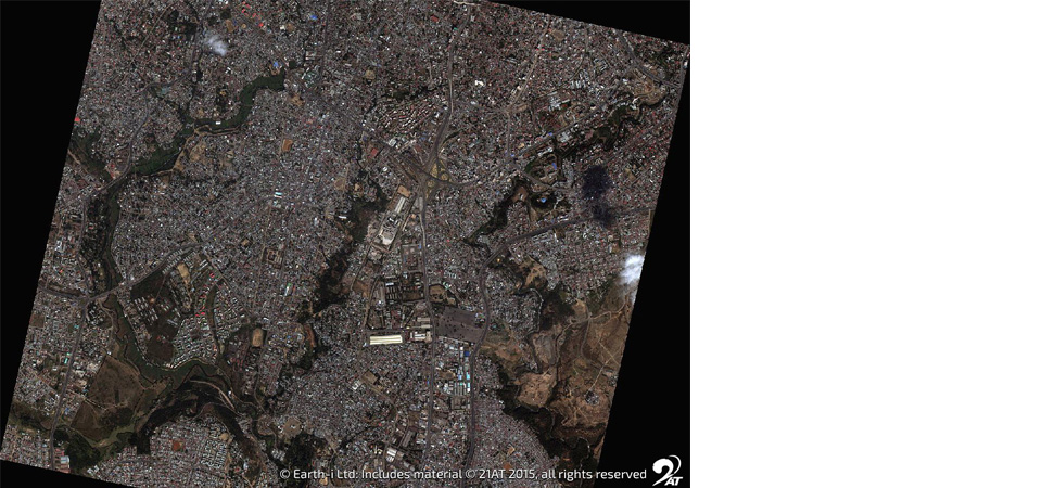
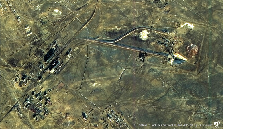
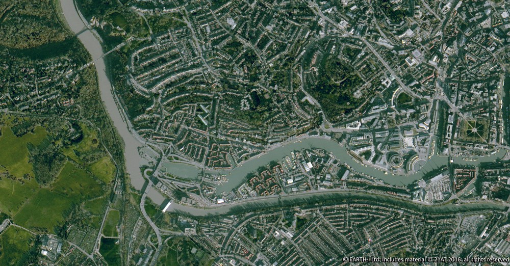
As part of the UK’s initiative to enhance Earth Observation (EO) data capabilities, the MuSeReCo project will focus on improving the accuracy and interoperability of satellite data. By using machine learning and pixel-based change detection, the Earth-i team aims to deliver cutting-edge tools that enable automated co-registration of data from multiple satellites—regardless of format or resolution.
This capability will unlock powerful new applications, from automated industrial site surveillance to enhanced security and intelligence monitoring, supporting a wide range of sectors and driving innovation in the UK’s space industry.
Earth-i is very proud to play a key role in advancing the UK’s capability in space-data technologies and look forward to contributing to future commercial opportunities.
For more information on the project click here – MuSeReCo
About Earth-i:
Earth-i is a geospatial intelligence company using machine learning, artificial intelligence and Earth Observation data to provide unique and relevant insights, derived from diverse geospatial data, that deliver clear decision advantage for businesses, governments and other organisations.
Earth-i provides advanced analytics using automated interpretation of a range of geospatial Earth Observation data sources including colour imagery, colour video, infra-red and radar from a range of sources including satellite, drone, aerial and ground-based sensors. This data is fused with additional data sources to extract factual understanding and generate predictive insights across a range of markets such as commodities, supply chain, agriculture, infrastructure and defence.

