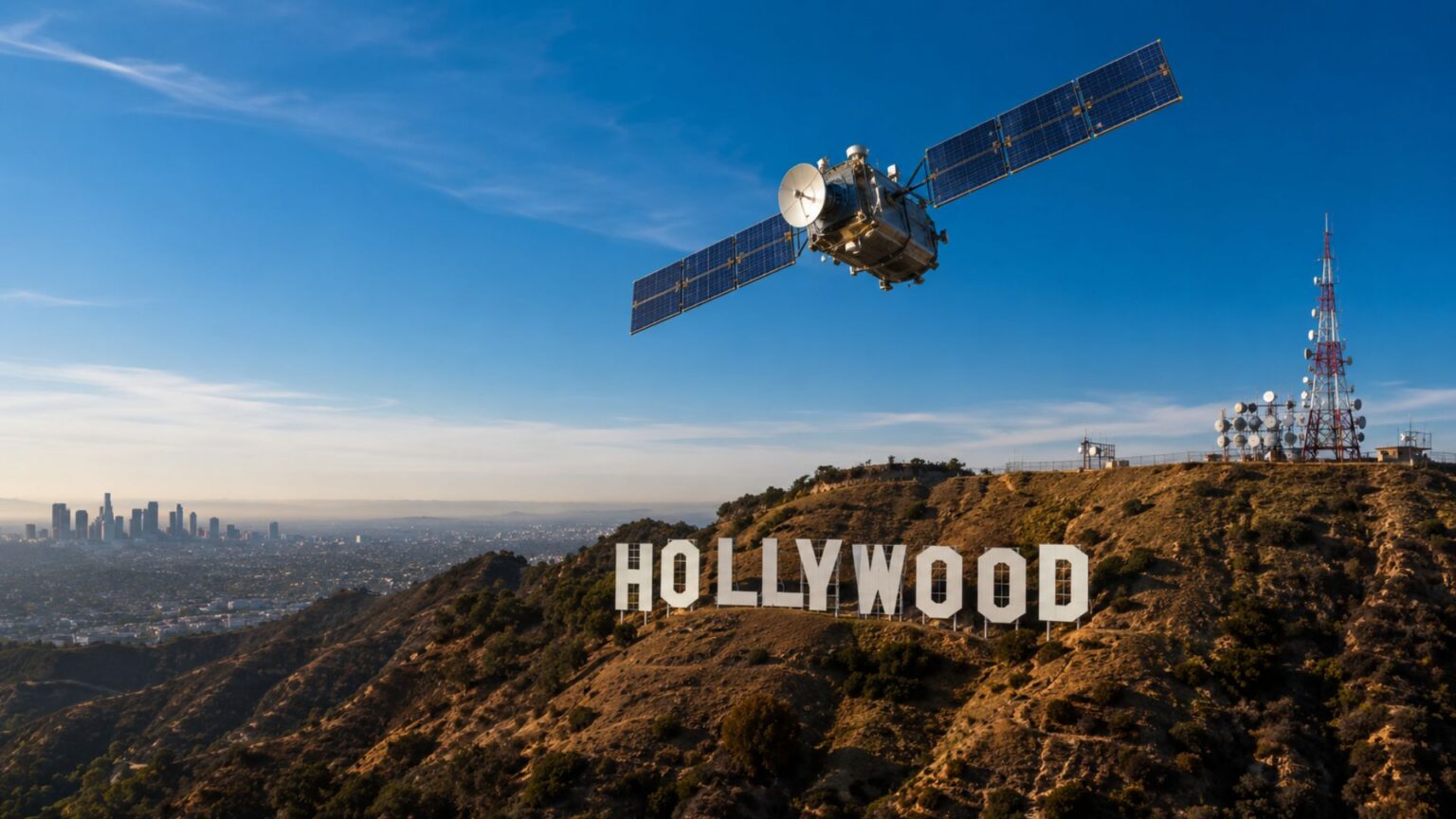
Hollywood loves an all-seeing satellite.
A suspect runs through a city. A control room goes quiet. Someone says “zoom in”. A grey blur becomes a readable number plate. The satellite follows the target through traffic, through clouds, through darkness, through several inconvenient laws of orbital mechanics.
It’s great cinema, but not always technically possible.
But Hollywood isn’t entirely off base. Films like Enemy of the State helped make satellite surveillance feel culturally real long before most people understood geospatial intelligence. Gravity exaggerated space debris into a terrifying orbital disaster, yet it put a genuine engineering problem on screen.
Here’s how satellite imaging actually works—and where the movies get it wrong and right.
Five things Hollywood gets wrong
One – Satellites can’t zoom in anywhere on Earth instantly
Enemy of the State treats satellite imaging like a CCTV camera in the sky. It’s not that simple.
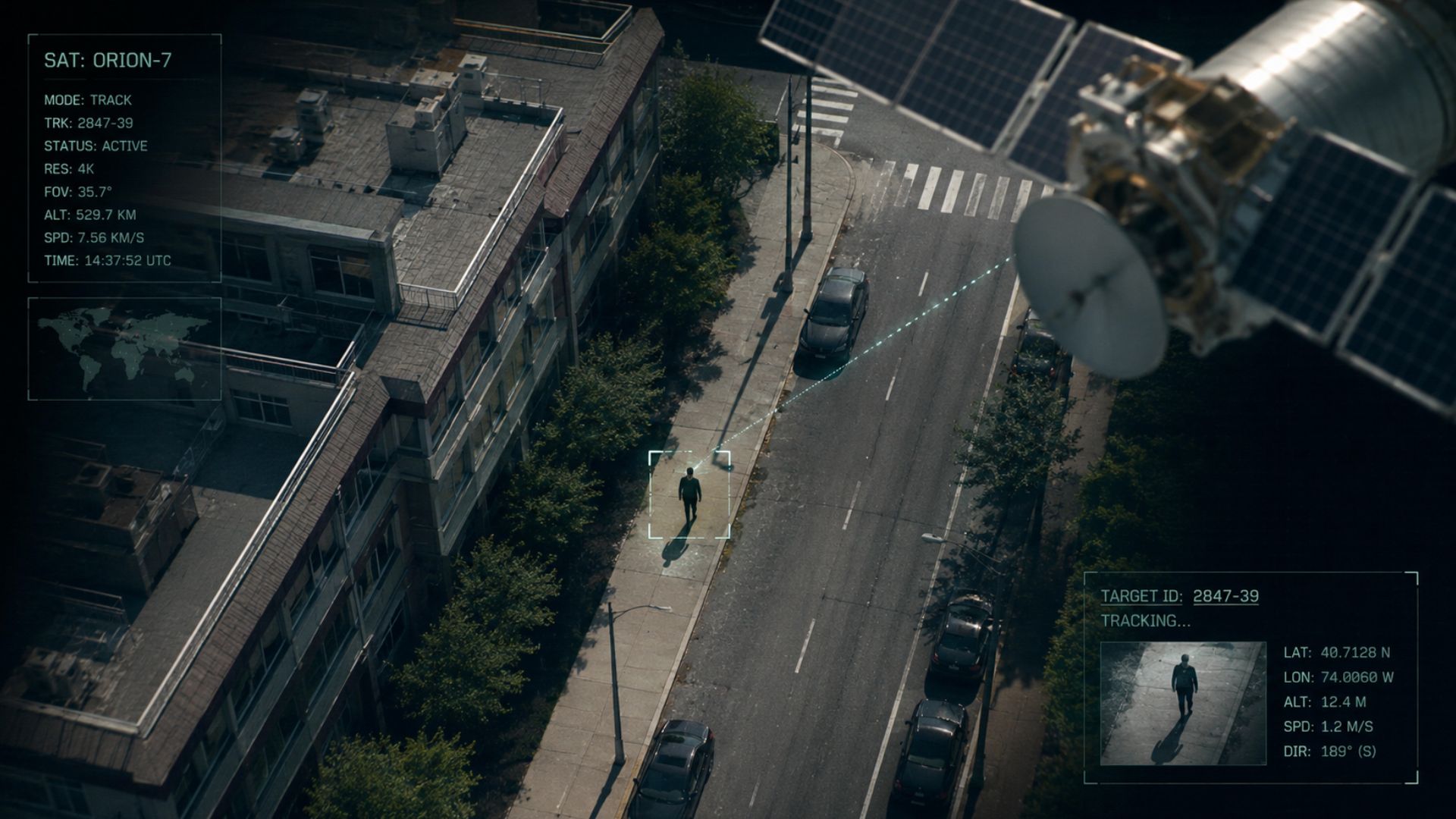
A satellite image is limited by the sensor, optics, aperture, altitude, motion, atmosphere, lighting and signal quality. You can sharpen data, process it, even combine it with other sources. You can’t create detail that was never captured.
Then there’s the question of orbit. Most Earth observation satellites operate in low Earth orbit, moving rapidly around the planet. They pass over a target, collect data, and keep going. They don’t hover above a city waiting for the chase sequence to improve.
“Give me real time imagery coverage…” is a line from Enemy of the State, where the team requests immediate satellite visual support.
A satellite in geosynchronous orbit sits much farther from Earth than a typical low Earth orbit imaging satellite. That’s useful for weather monitoring and communications, but it’s too far away for detailed optical imaging of small objects on the ground. Most Earth observation satellites use orbit patterns designed for repeatable lighting and regular coverage, rather than instant viewing on demand.
Two – Satellites aren’t casually moved for one project
Films treat satellites like drones with bigger budgets. Need a better angle? Move the satellite. Need another pass? Move it again.
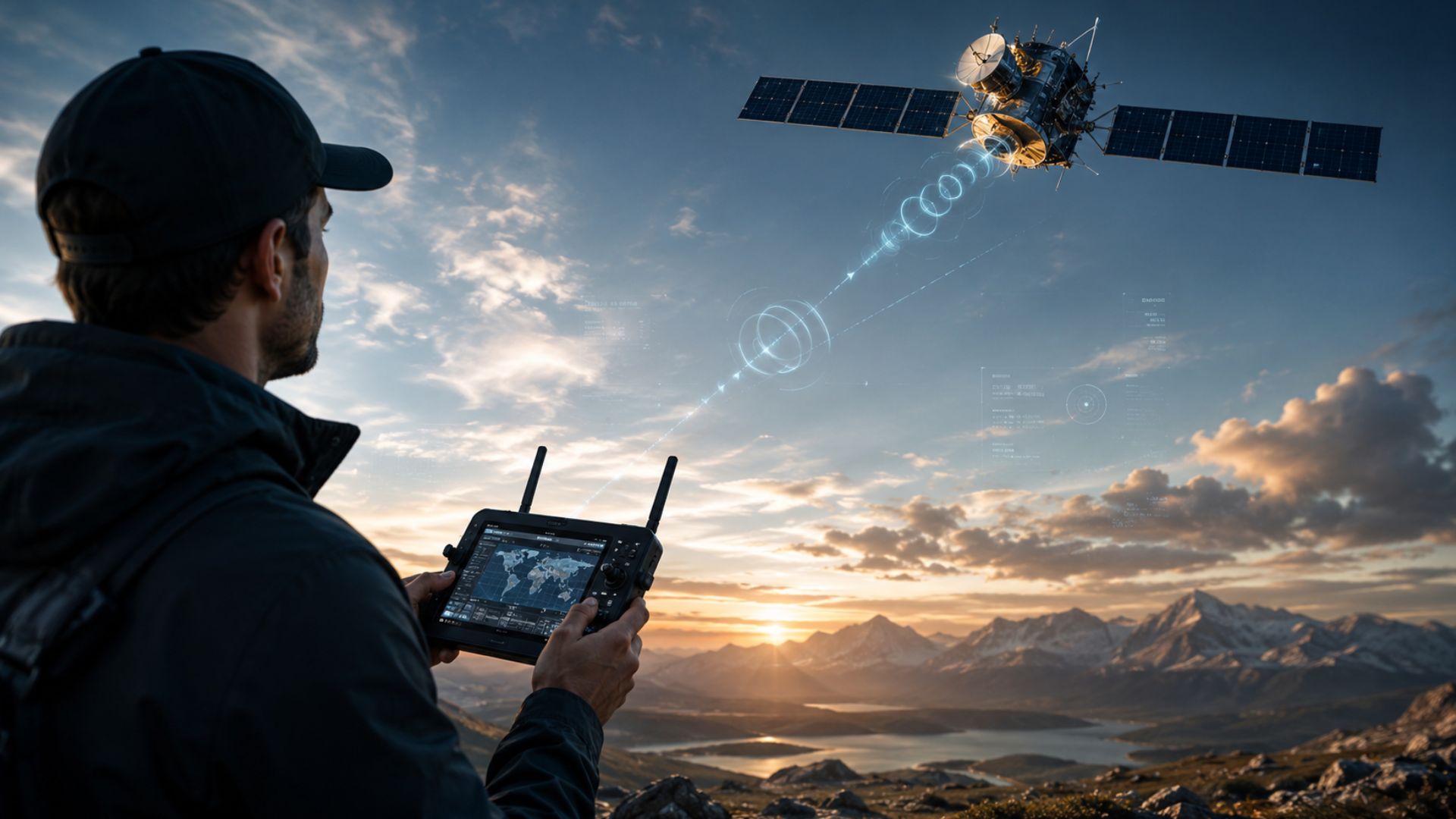
Real satellites don’t work that way. Orbital manoeuvres use propellant. Every change has consequences for fuel, collision risk, scheduling, power and communications.
Most of the time, operators don’t “move the satellite”. They plan an acquisition around the orbit and point the sensor within safe limits when the geometry allows. Off nadir imaging can help capture an area sooner, but it introduces distortion, reduces image quality and changes shadows and viewing angle.
The satellite is moving around Earth very precisely. It’s not being driven around space.
Three – Live CCTV from space isn’t how commercial satellite imaging works
This myth is stubborn.
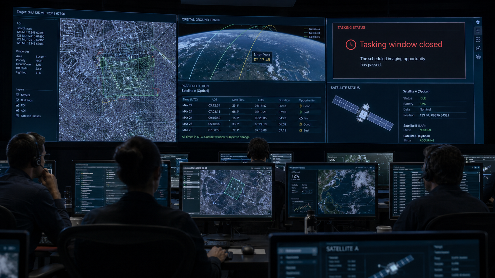
High resolution Earth observation produces enormous volumes of data. That data needs to be stored onboard, downlinked to a ground station, processed, quality checked and delivered. A satellite also needs line of sight to a compatible ground station or relay system. Low Earth orbit passes over a ground station can be brief.
Modern constellations reduce latency. Defence systems do things civilian commercial systems cannot. Some providers deliver imagery fast enough to support urgent decisions. But none of that makes satellite imagery the same as a live helicopter feed.
Planet describes its commercial monitoring as near daily imagery over Earth’s landmass. That’s remarkable, but it’s not live CCTV.
Four – Satellites don’t instantly react to what they see
In film logic, a satellite spots something suspicious, zooms in again, retasks itself, switches sensor mode and sends a perfect image to the hero.
In reality, a satellite collects data according to a plan. The data is downlinked. It’s processed. Analysts or automated systems extract meaning. A new task may be created, but by then the satellite may be far beyond the target.
That’s changing. Onboard processing, artificial intelligence and smarter tasking are improving response times. Some systems can prioritise data or detect change earlier. But power, compute, bandwidth, contact windows and mission rules still matter.
The satellite isn’t improvising like a camera operator at a football match.
Five – Optical satellites can’t see through cloud or take daylight images at night
Cloud is the problem Hollywood ignores.
An optical satellite records reflected sunlight. If cloud sits between the satellite and the ground, the image shows cloud. At night, ordinary visible imaging loses its main light source.
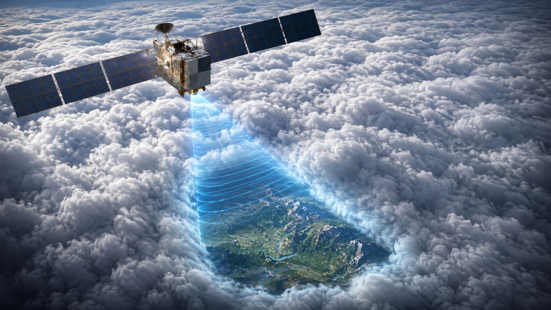
But there are other tools. Synthetic aperture radar (SAR) sends out microwave pulses and measures the signal that comes back. Because it’s an active remote sensing technology, SAR can collect useful data day or night and in weather conditions that limit optical systems.
That doesn’t make SAR a substitute for optical imagery. SAR images look different. They need specialist interpretation. They respond to surface roughness, moisture, geometry and viewing direction.
Clouds don’t end satellite intelligence. They change the instrument you need.
Five things Hollywood gets right
One – There really are lots of satellites
Hollywood is right about the crowding.
The Union of Concerned Scientists satellite database lists thousands of operational satellites in orbit. That matters because observation is no longer just about a few government spacecraft. It’s about constellations, revisit rates, complementary sensors and archives that allow analysts to compare what changed yesterday with what changed last year.
Commercial operators like Planet and public programmes such as Copernicus have made satellite data far more available, frequent and useful than it once was.
Hollywood sees a sky full of machines. That part is true.
Two – Space junk is real, dangerous and getting worse
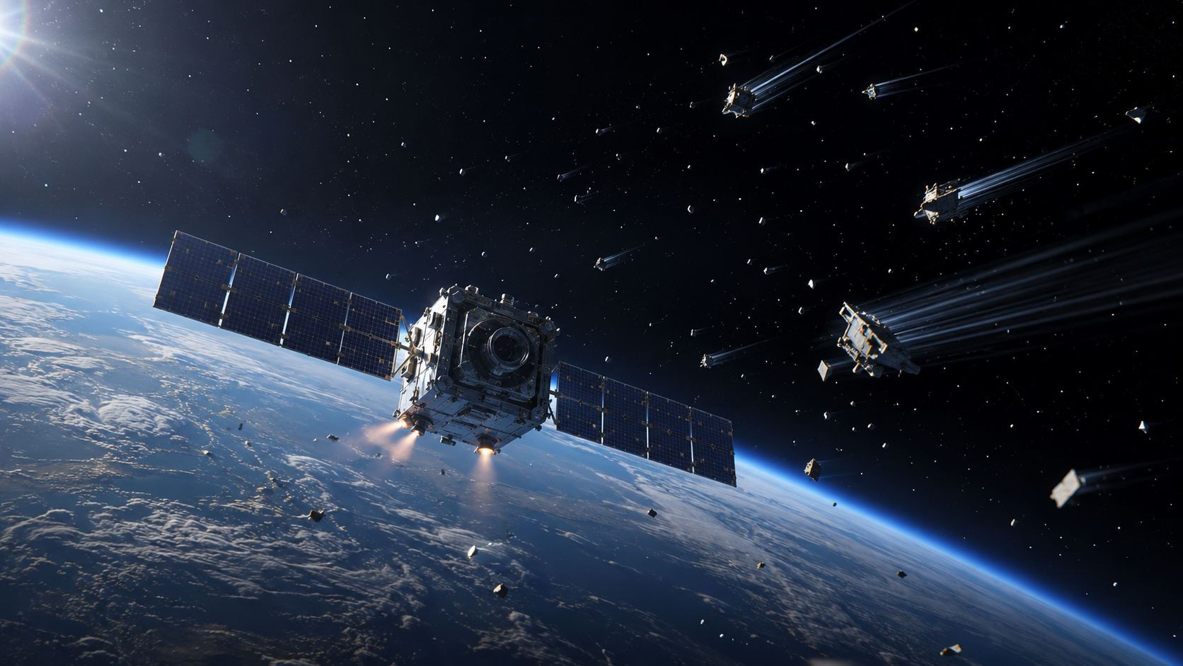
Gravity wildly exaggerates orbital mechanics, compressing a complex debris problem into blockbuster timing and terrifying chain reactions.
But the underlying danger is real.
ESA’s Space Environment Report describes an increasingly congested orbital environment, with thousands of tracked objects and far more smaller fragments that are harder to monitor. Even small debris can be dangerous at orbital speeds.
The Kessler syndrome idea isn’t fiction either. It describes a cascading debris scenario where collisions generate fragments that increase the risk of more collisions. The film version is dramatic, compressed and physically dubious in places, but it did something useful: it made orbital debris feel visceral and real.
Three – Satellites really do help track disasters
This is where reality beats Hollywood.
Satellites map flood extent, wildfire damage, landslides, oil spills, storm impacts, drought stress and volcanic activity. Optical imagery shows visible change. Thermal sensors detect heat. Radar maps floodwater through cloud and measures tiny ground movements.
SAR interferometry can detect millimetre-scale deformation when repeated radar observations are compared. That has powerful uses for volcano monitoring, subsidence, infrastructure risk and earthquake science. The signal is subtle. The consequences are not.
Copernicus services support emergency management, climate monitoring and civil security using satellite and ground-based data.
Hollywood imagines satellites catching villains. Reality has them catching flood boundaries before rescue teams arrive.
Four – Earth observation helped prove planetary change
Satellites gave climate science something extraordinary: repeated, global, comparable measurement.
They track sea level, sea ice, glaciers, vegetation, land cover, ocean colour, atmospheric composition, fire, surface temperature and greenhouse gas signals. They don’t replace field science, they extend it across the planet.
Copernicus monitors Earth’s land, oceans, atmosphere and climate. ESA’s Copernicus expansion missions include CO2M, designed to measure carbon dioxide and methane emissions linked to human activity.
Here’s the twist: the most important satellite story isn’t secret surveillance. It’s public evidence.
Five – Satellite intelligence can change geopolitics
Hollywood is right that satellite imagery can alter what governments, journalists and citizens know.
Before Russia’s full-scale invasion of Ukraine in February 2022, commercial satellite imagery showed Russian military deployments near Ukraine. That mattered because imagery wasn’t locked entirely inside classified channels. Commercial Earth observation helped bring evidence into public debate. It supported open-source intelligence, journalism, humanitarian monitoring and strategic communication.
This isn’t omniscience. Images need context. They can be misread. They can be delayed. They can be denied. But they have changed the information balance.
Final thought
Hollywood wants satellites to be supernatural. The truth is better.
Earth observation works because physics is strict. Orbits constrain when we can look. Atmosphere changes what we can see. Sensors decide what can be measured. Processing turns signals into evidence. Analysts turn evidence into decisions.
That’s why satellite intelligence is powerful. Not because it sees everything, but because, used properly, it sees enough to change what we know about the planet.
And if a story needs fact separated from fiction, get in touch with Earth-i.