Drones and reconnaissance aircraft can collect extraordinary ground-level detail. They can stay over a target, respond quickly to changing events and operate below cloud. Yet there are places where sending an aircraft is difficult, politically sensitive or simply impossible.
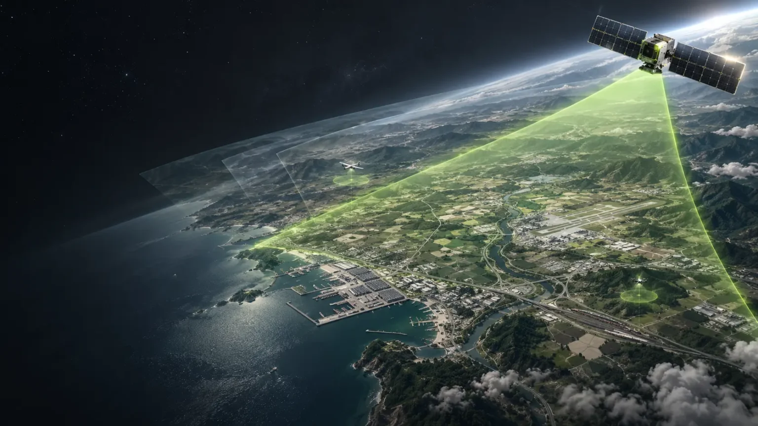
Satellite imagery can fill that gap. Its strength lies less in replacing airborne intelligence than in giving defence organisations access to places, timescales and geographic scales that drones and planes cannot cover.
Seeing into denied access environments
The clearest advantage of satellites is in denied or contested environments.
Flying an aircraft or drone over another country’s territory can carry obvious military and political consequences. Airspace may be heavily defended, and a surveillance flight can pose too much operational and political risk. From orbit, the data is still within reach.
A satellite passing overhead is also unlikely to be detected by personnel on the ground in the way an aircraft or drone might be. That said, satellite orbits can be tracked, so collection opportunities can sometimes be anticipated.
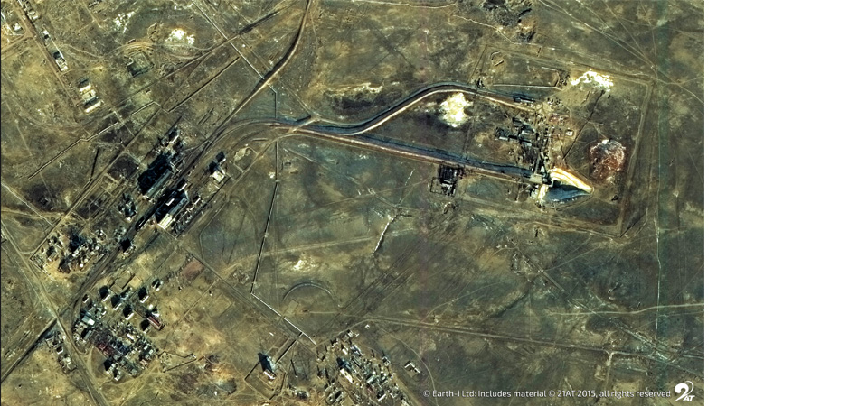
This makes space-based observation useful for examining military bases, airfields, ports, training areas, border regions and infrastructure deep inside territory where physical access is restricted.
A satellite cannot loiter, but a constellation can keep returning
Aircraft have the advantage of dwell time. Drones and aircraft can both remain overhead for a period. A satellite follows its orbit, and once it has passed a target, operators must wait for it to come round again.
That is a limitation, but defence intelligence doesn’t always need continuous observation. The question may be whether a site has changed since yesterday, whether vehicle numbers have risen over several weeks, or whether activity has moved away from its normal pattern.
Satellite constellations can revisit locations frequently, and imagery archives provide the historical record needed to understand what normal looked like before the change.
The data shows a sequence and on-the-ground patterns. Analysts can set a baseline for an airbase, vehicle park, logistics hub or training area, then spot trends and anticipate action such as new buildings appearing, equipment levels growing, vehicle numbers climbing.
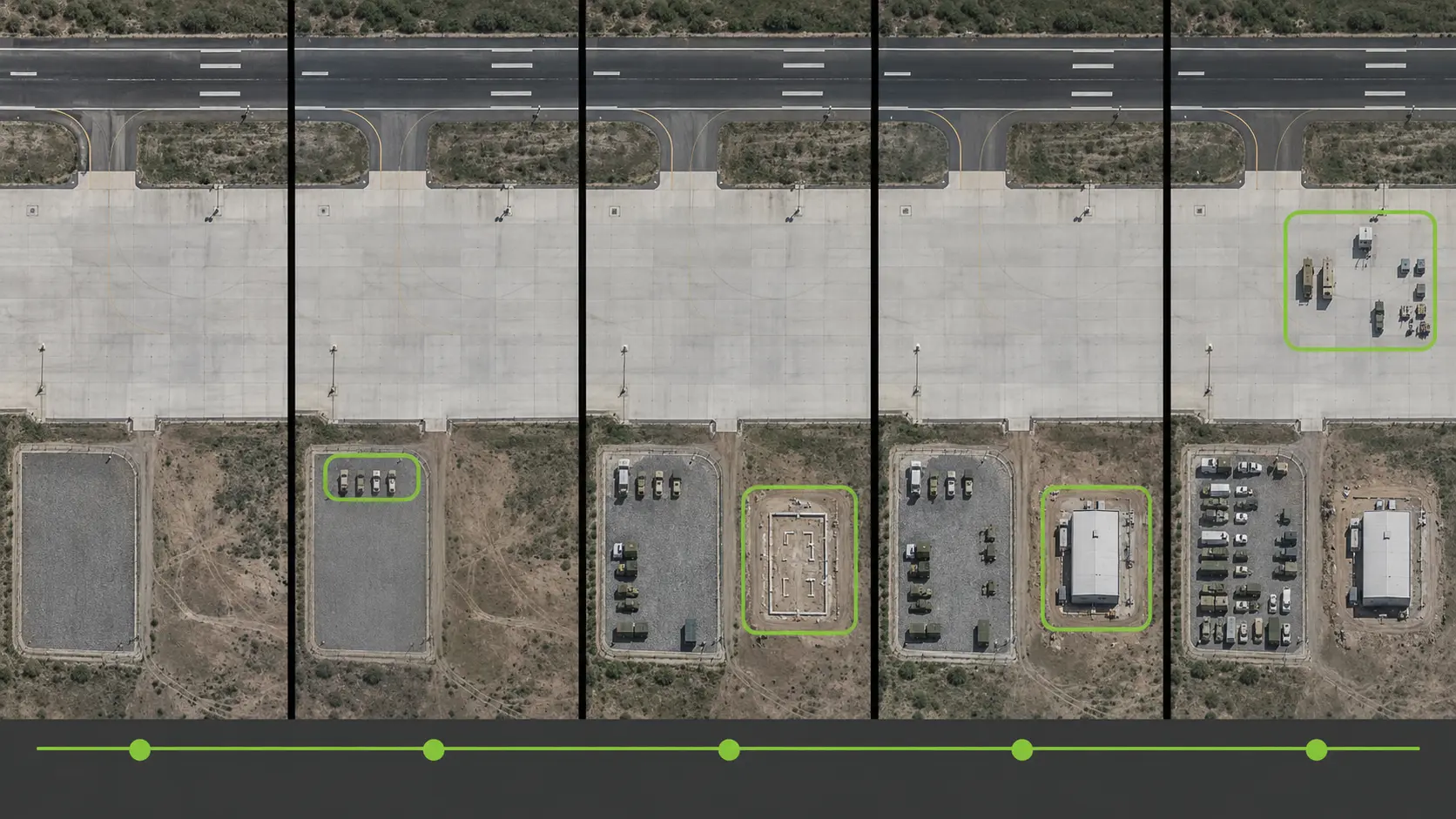
Looking backwards like this is only practical with satellites.
Monitoring an area rather than a target
Satellites find it easier to monitor an area at scale, while drones and aircraft are better suited to a defined location.
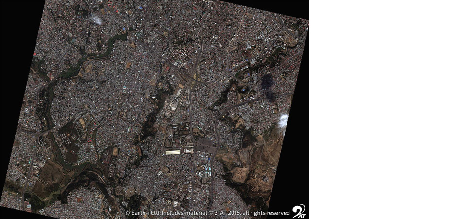
Instead of asking what is happening at one military installation, analysts can examine activity across a network of installations, ports, roads, railheads and logistics facilities. That wider view can reveal relationships an isolated reconnaissance mission may miss.
Wide area baselining is an important part of the process. Rather than searching every new image manually, analytical systems can flag where meaningful change has occurred and point analysts to the locations that need a closer look.
Resolution is no longer the gap it once was
Airborne imagery has traditionally led on spatial resolution. That gap is narrowing with Very Very High Resolution, or VVHR.
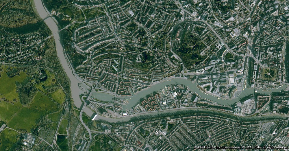
VVHR satellite imagery now extends below 30 centimetres, and emerging commercial capabilities are moving towards the 10 to 15 centimetre class. At those resolutions, satellite imagery approaches the detail of some aerial collection.
The intelligence question usually sets the data requirement. Counting vehicles may need one level of detail, while detecting construction or monitoring runway activity may need another. Even with VVHR available, establishing regional patterns may be better served by slightly coarser imagery collected more often.
The trade offs remain real
Satellite imagery still has constraints, the most obvious being that optical satellites cannot see through cloud. Aircraft and drones can sometimes operate below the cloud base, which gives them a clear advantage when weather blocks the view.
Synthetic Aperture Radar, or SAR, offers an alternative from space because radar can collect through cloud and at night. It is not a direct substitute for a high-resolution optical photograph, though. SAR measures radar reflections from surfaces and structures, so interpretation is different. It works well for detecting ships, changes to infrastructure, ground disturbance and activity under persistent cloud, but less well when the requirement is to identify fine visual features.
Timeliness can be a problem too. If an event begins minutes after a satellite pass, the next collection opportunity may not arrive when it is needed. Airborne assets already nearby can respond far more directly.
Aircraft offer responsiveness and dwell time. Drones deliver persistent local surveillance and exceptional detail. Satellites provide something harder to obtain by providing repeated access to remote or politically sensitive locations, offering broad geographic coverage and having an historical record that allows today’s activity to be measured against months or years of previous behaviour.
For many defence questions, the decisive insight does not come from seeing one target more clearly. It comes from seeing how the wider picture has changed.
Discover more about VANTAGE – Earth-i’s defence intelligence platform.