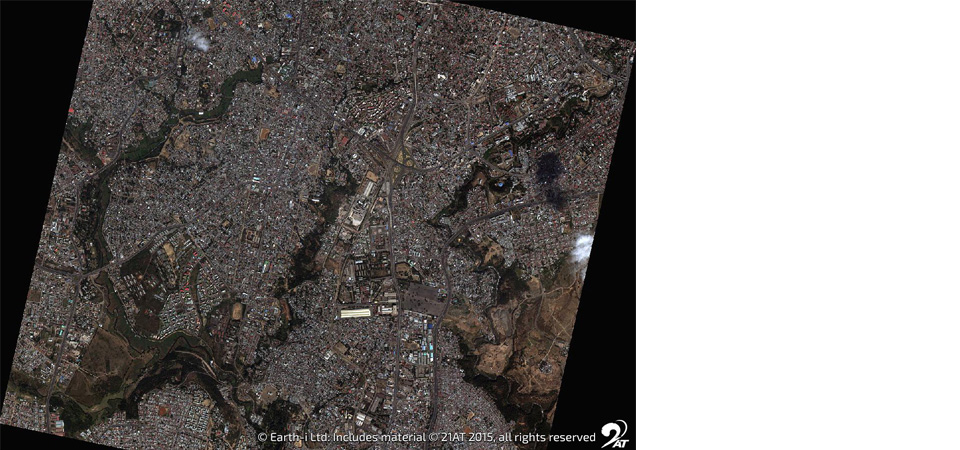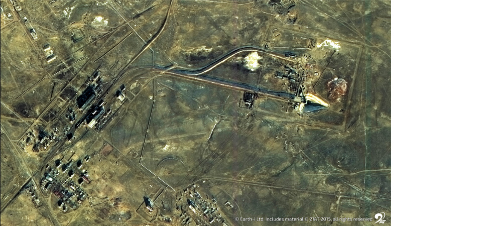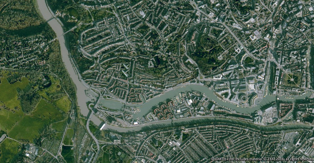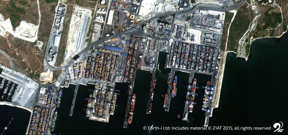
Earth-i to demonstrate and discuss the roles Earth Observation and Remote Sensing can play in managing natural resources
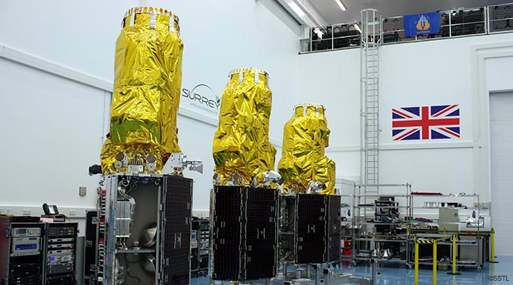
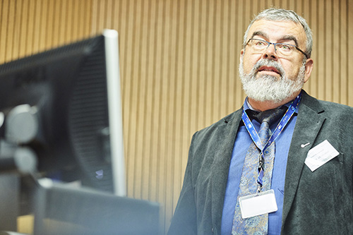
Earth-i the innovative, new distributor of imaging and data services from the DMC3/TripleSat Constellation will be attending the GeoData 2015 seminar and exhibition (stand 18), on 3rd December at the ILEC Conference Centre, London. During the event, Earth-i’s Operations Director, Owen Hawkins, will be addressing the assembled audience about the methods and advantages of using Earth Observation and Remote Sensing for the management of natural resources.
Held at various locations around the UK and Continental Europe, the focus of this year’s series of GeoData seminars will be centred upon the theme: ‘technology, tools and techniques’. A variety of industry-focused sessions, presented by subject matter experts, will seek to address a broad spectrum of topics, including 3D data capture, online geographical information systems (GIS), map productions, national spatial information, user applications, 3D modelling and data management. The seminar will be complemented by a trade exhibition that will showcase and demonstrate many of the latest research and commercial developments in the sector.
Owen Hawkins was previously with Surrey Satellite Technology Ltd and DMCii, where he was responsible for the distribution and development of new data products on the preceding Disaster Monitoring Constellation (DMC2). With an MSc in nanoscale science and technology, plus extensive experience in the sector, Owen is now helping Earth-i provide the highest standard of images, data and value added services to their customers.
Speaking about Earth-i’s attendance at the show, Richard Blain, CEO of Earth-i, commented: “We look forward to demonstrating our current and upcoming Earth Observation and Remote Sensing capabilities to our peers and prospective customers. As we move closer to providing full commercial imaging services towards the end of the year, this is an excellent opportunity to showcase how far we have progressed, as a provider of images and data, since the launch of the satellites in July.”