Today Earth-i is pleased to share that a senior delegation has been attending GEOINT 2019 this week in San Antonio, Texas. GEOINT 2019 is one of the world’s leading geospatial intelligence conferences, and a prime platform for Earth-i to demonstrate their advances in data science and automated image analytics which is delivering a fundamental shift to the geospatial intelligence sector.
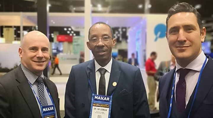
AVM Sean Corbett (Ret’d) and Paul Majmader held numerous fruitful meetings, including with Dr Usman, Managing Director of RESLARC (Remote Sensing & Land Resources Consultants). Earth-i first met Dr Usman during the DGI 2019, an event for geospatial intelligence leaders hosted in London, and has since had subsequent discussions to develop a strategic and enduring partnership.
RESLARC is a privately-owned Nigerian company which provides consultancy services in the area of geospatial intelligence, with a particular focus in Africa. The RESLARC team has over 23 years of geospatial experience and is committed to delivering world-leading future technologies to their clients across Africa.
Earth-i is currently developing a unique application of data analytics and Artificial Intelligence for the geospatial intelligence sector. In his first thought paper, AVM Sean Corbett explores the need for intelligence agencies to shift away from time-intensive, laborious tasks with the use of automation in order to free up an Intelligence Analyst to perform the time pressing, critical tasks. Read the thought paper called Intelligence as a Service: Time to change approach?
If you wish to meet with Sean or Paul, or would like more information, please contact enquiries@earthi.space.co.uk


