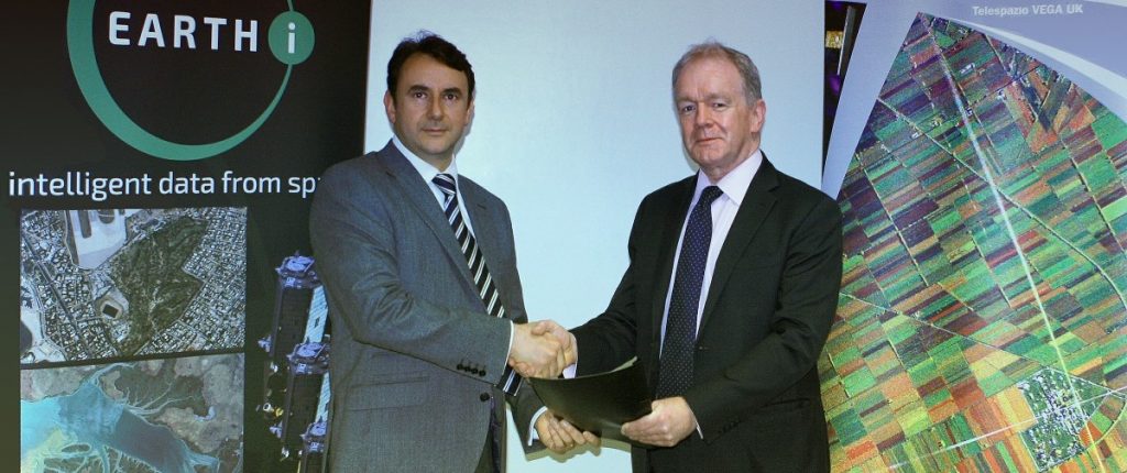
01 November 2024 – London – Earth-i has pleased to announce that we have been awarded a framework contract on the Crown Commercial Services (CCS) G-Cloud 14 framework, covering cloud hosting services, cloud software services and associated support services.
As part of the UK Government’s CloudFirst policy, all public sector organisations can use the G-Cloud 14 agreement to buy cloud-based computing services such as hosting, software, and cloud support, including many off-the-shelf, pay-as-you-go cloud solutions..
Earth-i will be providing Geospatial Cloud Software and Geospatial Cloud Consultancy and Support Services. This will give government access to Earth-i’s SAVANT cloud platform, as well to Planet Labs Planet Insights Platform and Blacksky Spectra Platforms and associated services.
G-Cloud 14 will make it easier than ever for current and potential public sector clients to engage with Earth-i and access market leading geospatial services.
Unlike its predecessor G-Cloud 13, G-Cloud 14 is direct award only. This allows Central Government departments, local authorities, arm’s-length bodies (ALBs) and Higher Education institutions to buy our services directly through the new G-Cloud catalogue, without the need to go through a lengthy and often time-consuming tender process.
This will enable Earth-i to respond more quickly to our clients’ business needs, making it easy to deliver complex solutions quickly and efficiently. All G-Cloud suppliers have to undergo a strict assessment, which in turn provides public sector buyers with confidence of assured outcomes.
About Earth-i:
Earth-i is a geospatial intelligence company using machine learning, artificial intelligence and Earth Observation data to provide unique and relevant insights, derived from diverse geospatial data, that deliver clear decision advantage for businesses, governments and other organisations.
Earth-i provides advanced analytics using automated interpretation of a range of geospatial Earth Observation data sources including colour imagery, colour video, infra-red and radar from a range of sources including satellite, drone, aerial and ground-based sensors. This data is fused with additional data sources to extract factual understanding and generate predictive insights across a range of markets such as commodities, supply chain, agriculture, infrastructure and defence.

